Ikirun geodata
Ikirun (Osun) is a seat of a second-order administrative division; located in Nigeria in Africa/Lagos (GMT+1) time zone. With population of 134,240 people, there are 63 cities with bigger population in this country. Compared to other cities in Nigeria, 53.8% of cities are located further ↑North; 85.9% of cities are located further →East and 66.7% of cities have lower elevation than Ikirun. Note1


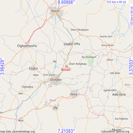
Ikirun GPS coordinates[2]
7° 54' 46.188" North, 4° 40' 2.676" East
| Map corner | latitude | longitude |
|---|---|---|
| Upper-left | 8.60866°, | 3.96428° |
| Center: | 7.91283°, | 4.66741° |
| Lower-right: | 7.21583°, | 5.37053° |
| Map W x H: | 154.9×154.9 km | = 96.3×96.3mi |
| max Lat: | 13.7543° ⇑53.8% North |
| Ikirun: | 7.91283° |
| min Lat: | ⇓46.2% South 4.31231° |
| min Long | Ikirun | max Long |
| 2.73333° | 4.66741° | 14.46552° |
| W 14.1%⇐ | ⇒85.9% E |
Elevation
Elevation of Ikirun is 379 m = 1243 ft, and this is 82.5 m = 271 ft above average elevation for this country.
| Max E: |
1599 m = 5246 ft | 33.3% |
| Ikirun | 379 m 1243 ft | |
| Avg. | 296.5 m = 973 ft | |
Min E: |
2 m = 7 ft | 66.7% |
See also: Ikirun elevation on elevation.city.
Geographical zone
Ikirun is located in North Torrid zone (between Equator and Tropic of Cancer). Distance of Equator is 879.8 km =546.7 mi to South.| Distance of | km | miles | from Ikirun |
|---|---|---|---|
| North Pole | 9127.2 | 5671.4 | to North |
| Arctic Circle | 6521.3 | 4052.1 | to North |
| Tropic Cancer | 1726.1 | 1072.5 | to North |
| Equator | 879.8 | 546.7 | to South |


Nearby cities:
15 places around Ikirun: (largest is in red/bold)
• Ede
32.2 km =20 mi,  232°
232°
• Ibokun
15.5 km =9.6 mi,  153°
153°
• Ifon
21.9 km =13.6 mi,  254°
254°
• Ijebu-Jesa
30.5 km =19 mi, 147°
• Ila Orangun
28.5 km =17.7 mi,  66°
66°
• Ilemona
21.9 km =13.6 mi,  358°
358°
• Ilesa
32.7 km =20.3 mi,  165°
165°
• Ilobu
21.6 km =13.4 mi, 248°
• Iragbiji
2.4 km =1.5 mi,  114°
114°
• Offa
26.9 km =16.7 mi,  12°
12°
• Oke Mesi
29.5 km =18.3 mi, 111°
• Okuku
11.7 km =7.3 mi,  2°
2°
• Osogbo
19.9 km =12.4 mi,  217°
217°
• Otan Ayegbaju
13.9 km =8.6 mi, 73°
• Oyan
18.8 km =11.7 mi,  35°
35°
Sources, notices
• [Note1] Compared only with cities in Nigeria existing in our database
• [Src1] Map data: © OpenStreetMap contributors (CC-BY-SA)
• [Src2] Other city data from geonames.org with taken over terms of usage.
• [Src3] Geographical zone / Annual Mean Temperature by Robert A. Rohde @ Wikipedia
