Iragbiji geodata
Iragbiji (Osun) is a seat of a second-order administrative division; located in Nigeria in Africa/Lagos (GMT+1) time zone. In our database, there are 451 cities with bigger population. Compared to other cities in Nigeria, 54% of cities are located further ↑North; 85.5% of cities are located further →East and 72.8% of cities have lower elevation than Iragbiji. Note1


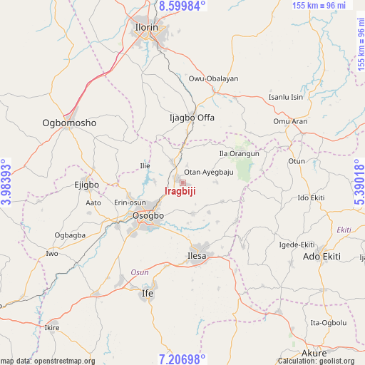
Iragbiji GPS coordinates[2]
7° 54' 14.4" North, 4° 41' 13.38" East
| Map corner | latitude | longitude |
|---|---|---|
| Upper-left | 8.59984°, | 3.98393° |
| Center: | 7.904°, | 4.68705° |
| Lower-right: | 7.20698°, | 5.39018° |
| Map W x H: | 154.9×154.9 km | = 96.3×96.3mi |
| max Lat: | 13.7543° ⇑54% North |
| Iragbiji: | 7.904° |
| min Lat: | ⇓46% South 4.31231° |
| min Long | Iragbiji | max Long |
| 2.73333° | 4.68705° | 14.46552° |
| W 14.5%⇐ | ⇒85.5% E |
Elevation
Elevation of Iragbiji is 417 m = 1368 ft, and this is 120.5 m = 395 ft above average elevation for this country.
| Max E: |
1599 m = 5246 ft | 27.2% |
| Iragbiji | 417 m 1368 ft | |
| Avg. | 296.5 m = 973 ft | |
Min E: |
2 m = 7 ft | 72.8% |
See also: Nigeria elevation on elevation.city.
Geographical zone
Iragbiji is located in North Torrid zone (between Equator and Tropic of Cancer). Distance of Equator is 878.8 km =546.1 mi to South.| Distance of | km | miles | from Iragbiji |
|---|---|---|---|
| North Pole | 9128.2 | 5672 | to North |
| Arctic Circle | 6522.3 | 4052.8 | to North |
| Tropic Cancer | 1727.1 | 1073.2 | to North |
| Equator | 878.8 | 546.1 | to South |


Nearby cities:
15 places around Iragbiji: (largest is in red/bold)
• Ibokun
13.8 km =8.6 mi,  160°
160°
• Ifon
23.7 km =14.7 mi,  258°
258°
• Ijebu-Jesa
28.5 km =17.7 mi,  149°
149°
• Ikirun
2.4 km =1.5 mi,  294°
294°
• Ila Orangun
27 km =16.8 mi,  62°
62°
• Ilemona
23.1 km =14.4 mi,  352°
352°
• Ilesa
31.3 km =19.4 mi,  168°
168°
• Ilobu
23.3 km =14.5 mi,  252°
252°
• Offa
27.5 km =17.1 mi,  7°
7°
• Oke Ila
33 km =20.5 mi,  81°
81°
• Oke Mesi
27.1 km =16.8 mi,  111°
111°
• Okuku
12.8 km =8 mi, 352°
• Osogbo
20.6 km =12.8 mi,  224°
224°
• Otan Ayegbaju
12.2 km =7.6 mi,  66°
66°
• Oyan
18.4 km =11.4 mi,  28°
28°
Sources, notices
• [Note1] Compared only with cities in Nigeria existing in our database
• [Src1] Map data: © OpenStreetMap contributors (CC-BY-SA)
• [Src2] Other city data from geonames.org with taken over terms of usage.
• [Src3] Geographical zone / Annual Mean Temperature by Robert A. Rohde @ Wikipedia
