Oke Mesi geodata
Oke Mesi (Osun) is a populated place; located in Nigeria in Africa/Lagos (GMT+1) time zone. With population of 79,563 people, there are 112 cities with bigger population in this country. Compared to other cities in Nigeria, 55.8% of cities are located further ↑North; 82.2% of cities are located further →East and 86.2% of cities have lower elevation than Oke Mesi. Note1


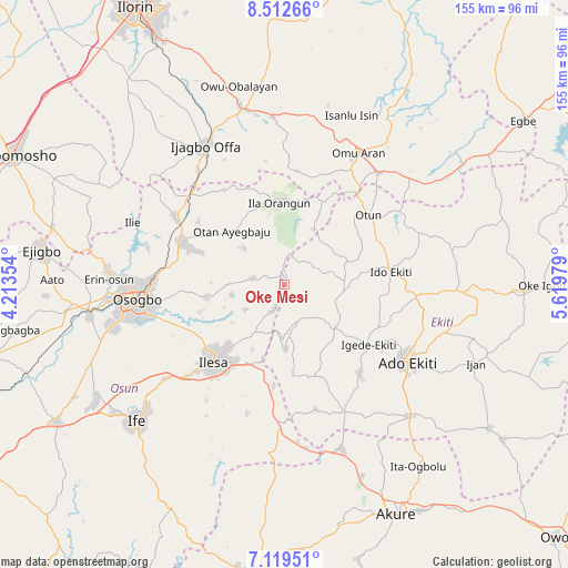
Oke Mesi GPS coordinates[2]
7° 49' 0.012" North, 4° 55' 0.012" East
| Map corner | latitude | longitude |
|---|---|---|
| Upper-left | 8.51266°, | 4.21354° |
| Center: | 7.81667°, | 4.91667° |
| Lower-right: | 7.11951°, | 5.61979° |
| Map W x H: | 154.9×154.9 km | = 96.3×96.3mi |
| max Lat: | 13.7543° ⇑55.8% North |
| Oke Mesi: | 7.81667° |
| min Lat: | ⇓44.2% South 4.31231° |
| min Long | Oke Mesi | max Long |
| 2.73333° | 4.91667° | 14.46552° |
| W 17.8%⇐ | ⇒82.2% E |
Elevation
Elevation of Oke Mesi is 514 m = 1686 ft, and this is 217.5 m = 714 ft above average elevation for this country.
| Max E: |
1599 m = 5246 ft | 13.8% |
| Oke Mesi | 514 m 1686 ft | |
| Avg. | 296.5 m = 973 ft | |
Min E: |
2 m = 7 ft | 86.2% |
See also: Oke Mesi elevation on elevation.city.
Geographical zone
Oke Mesi is located in North Torrid zone (between Equator and Tropic of Cancer). Distance of Equator is 869.1 km =540 mi to South.| Distance of | km | miles | from Oke Mesi |
|---|---|---|---|
| North Pole | 9137.9 | 5678 | to North |
| Arctic Circle | 6532 | 4058.8 | to North |
| Tropic Cancer | 1736.8 | 1079.2 | to North |
| Equator | 869.1 | 540 | to South |


Nearby cities:
15 places around Oke Mesi: (largest is in red/bold)
• Aramoko-Ekiti
18.5 km =11.5 mi,  132°
132°
• Efon-Alaaye
17.8 km =11.1 mi,  177°
177°
• Ibokun
20.9 km =13 mi,  261°
261°
• Ido-Ekiti
29.5 km =18.3 mi,  83°
83°
• Igede-Ekiti
28.4 km =17.6 mi, 125°
• Ijebu-Jesa
18.4 km =11.4 mi,  216°
216°
• Ijero-Ekiti
16.6 km =10.3 mi,  90°
90°
• Ikirun
29.5 km =18.3 mi,  291°
291°
• Ila Orangun
22.3 km =13.9 mi,  356°
356°
• Ilesa
28.5 km =17.7 mi, 222°
• Ipoti
18.8 km =11.7 mi,  70°
70°
• Iragbiji
27.1 km =16.8 mi, 291°
• Oke Ila
16.5 km =10.3 mi,  26°
26°
• Otan Ayegbaju
20.3 km =12.6 mi,  315°
315°
• Otun-Ekiti
29.7 km =18.5 mi,  49°
49°
Sources, notices
• [Note1] Compared only with cities in Nigeria existing in our database
• [Src1] Map data: © OpenStreetMap contributors (CC-BY-SA)
• [Src2] Other city data from geonames.org with taken over terms of usage.
• [Src3] Geographical zone / Annual Mean Temperature by Robert A. Rohde @ Wikipedia
