Bokkos geodata
Bokkos (Plateau) is a seat of a second-order administrative division; located in Nigeria in Africa/Lagos (GMT+1) time zone. With population of 12,538 people, there are 288 cities with bigger population in this country. Compared to other cities in Nigeria, 57.8% of cities are located further ↓South; 76.5% of cities are located further ←West and 99.9% of cities have lower elevation than Bokkos. Note1


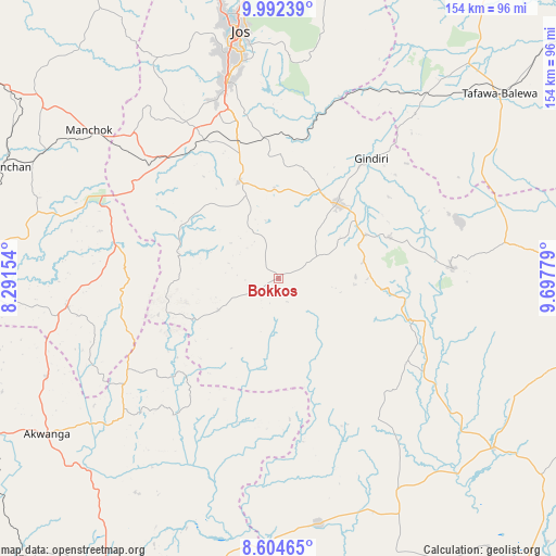
Bokkos GPS coordinates[2]
9° 17' 57.156" North, 8° 59' 40.812" East
| Map corner | latitude | longitude |
|---|---|---|
| Upper-left | 9.99239°, | 8.29154° |
| Center: | 9.29921°, | 8.99467° |
| Lower-right: | 8.60465°, | 9.69779° |
| Map W x H: | 154.3×154.3 km | = 95.9×95.9mi |
| max Lat: | 13.7543° ⇑42.2% North |
| Bokkos: | 9.29921° |
| min Lat: | ⇓57.8% South 4.31231° |
| min Long | Bokkos | max Long |
| 2.73333° | 8.99467° | 14.46552° |
| W 76.5%⇐ | ⇒23.5% E |
Elevation
Elevation of Bokkos is 1336 m = 4383 ft, and this is 1039.5 m = 3410 ft above average elevation for this country.
| Max E: |
1599 m = 5246 ft | 0.099999999999994% |
| Bokkos | 1336 m 4383 ft | |
| Avg. | 296.5 m = 973 ft | |
Min E: |
2 m = 7 ft | 99.9% |
See also: Nigeria elevation on elevation.city.
Geographical zone
Bokkos is located in North Torrid zone (between Equator and Tropic of Cancer). Distance of Equator is 1034 km =642.5 mi to South.| Distance of | km | miles | from Bokkos |
|---|---|---|---|
| North Pole | 8973.1 | 5575.6 | to North |
| Arctic Circle | 6367.2 | 3956.4 | to North |
| Tropic Cancer | 1571.9 | 976.7 | to North |
| Equator | 1034 | 642.5 | to South |


Nearby cities:
15 places around Bokkos: (largest is in red/bold)
• Baap
48 km =29.8 mi,  145°
145°
• Barkin Ladi
28.8 km =17.9 mi,  337°
337°
• Boi
62.8 km =39 mi,  62°
62°
• Bukuru
56.9 km =35.4 mi,  345°
345°
• Gwantu
59.4 km =36.9 mi,  262°
262°
• Jos
70.9 km =44.1 mi, 350°
• Kwal
69 km =42.9 mi,  83°
83°
• Kwolla
54.7 km =34 mi,  143°
143°
• Lere
59.4 km =36.9 mi,  39°
39°
• Mangu
27.1 km =16.8 mi,  24°
24°
• Pankshin
48.4 km =30.1 mi,  86°
86°
• Panyam
27 km =16.8 mi, 63°
• Riyom
45.7 km =28.4 mi,  325°
325°
• Vom
52.7 km =32.7 mi, 334°
• Wamba
58.6 km =36.4 mi,  227°
227°
Sources, notices
• [Note1] Compared only with cities in Nigeria existing in our database
• [Src1] Map data: © OpenStreetMap contributors (CC-BY-SA)
• [Src2] Other city data from geonames.org with taken over terms of usage.
• [Src3] Geographical zone / Annual Mean Temperature by Robert A. Rohde @ Wikipedia
