Anchau geodata
Anchau (Kaduna) is a seat of a second-order administrative division; located in Nigeria in Africa/Lagos (GMT+1) time zone. With population of 15,538 people, there are 236 cities with bigger population in this country. Compared to other cities in Nigeria, 72.3% of cities are located further ↓South; 70.2% of cities are located further ←West and 96.5% of cities have lower elevation than Anchau. Note1


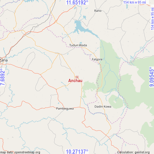
Anchau GPS coordinates[2]
10° 57' 44.82" North, 8° 23' 32.388" East
| Map corner | latitude | longitude |
|---|---|---|
| Upper-left | 11.65192°, | 7.6892° |
| Center: | 10.96245°, | 8.39233° |
| Lower-right: | 10.27137°, | 9.09545° |
| Map W x H: | 153.5×153.5 km | = 95.4×95.4mi |
| max Lat: | 13.7543° ⇑27.7% North |
| Anchau: | 10.96245° |
| min Lat: | ⇓72.3% South 4.31231° |
| min Long | Anchau | max Long |
| 2.73333° | 8.39233° | 14.46552° |
| W 70.2%⇐ | ⇒29.8% E |
Elevation
Elevation of Anchau is 691 m = 2267 ft, and this is 394.5 m = 1294 ft above average elevation for this country.
| Max E: |
1599 m = 5246 ft | 3.5% |
| Anchau | 691 m 2267 ft | |
| Avg. | 296.5 m = 973 ft | |
Min E: |
2 m = 7 ft | 96.5% |
See also: Nigeria elevation on elevation.city.
Geographical zone
Anchau is located in North Torrid zone (between Equator and Tropic of Cancer). Distance of Equator is 1218.9 km =757.4 mi to South.| Distance of | km | miles | from Anchau |
|---|---|---|---|
| North Pole | 8788.2 | 5460.7 | to North |
| Arctic Circle | 6182.3 | 3841.5 | to North |
| Tropic Cancer | 1387 | 861.8 | to North |
| Equator | 1218.9 | 757.4 | to South |


Nearby cities:
15 places around Anchau: (largest is in red/bold)
• Burumburum
59.8 km =37.2 mi,  37°
37°
• Dan Gora
68.8 km =42.8 mi,  337°
337°
• Dutsen Wai
24.5 km =15.2 mi,  239°
239°
• Ikara
29.9 km =18.6 mi,  322°
322°
• Kauru
50.4 km =31.3 mi,  211°
211°
• Kibiya
69.4 km =43.1 mi,  24°
24°
• Lere
67.1 km =41.7 mi,  162°
162°
• Maigana
50.1 km =31.1 mi,  278°
278°
• Makarfi
72.4 km =45 mi,  309°
309°
• Rano
69.2 km =43 mi, 17°
• Ririwai
45.4 km =28.2 mi,  122°
122°
• Saminaka
69.2 km =43 mi,  152°
152°
• Soba
36.6 km =22.7 mi,  273°
273°
• Tudun Wada
31.8 km =19.8 mi,  1°
1°
• Zaria
74.9 km =46.5 mi, 282°
Sources, notices
• [Note1] Compared only with cities in Nigeria existing in our database
• [Src1] Map data: © OpenStreetMap contributors (CC-BY-SA)
• [Src2] Other city data from geonames.org with taken over terms of usage.
• [Src3] Geographical zone / Annual Mean Temperature by Robert A. Rohde @ Wikipedia
