Raalte geodata
Raalte (Overijssel) is a populated place; located in Netherlands in Europe/Amsterdam (GMT+2) time zone. With population of 20,015 people, there are 172 cities with bigger population in this country. Compared to other cities in Netherlands, 68.8% of cities are located further ↓South; 85.1% of cities are located further ←West and 57.3% of cities have lower elevation than Raalte. Note1


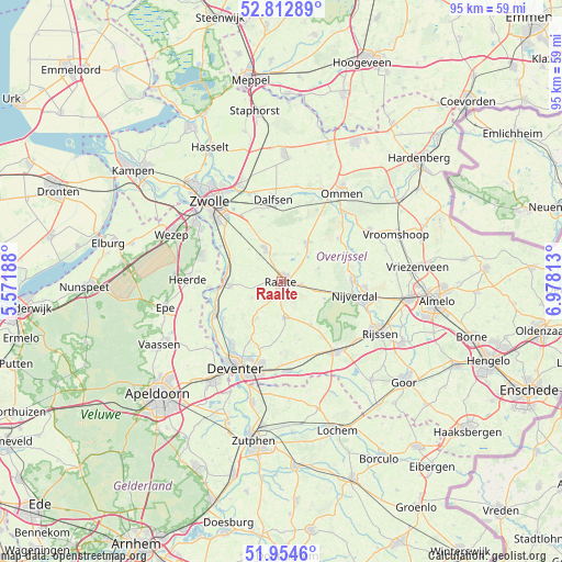
Raalte GPS coordinates[2]
52° 23' 8.988" North, 6° 16' 30" East
| Map corner | latitude | longitude |
|---|---|---|
| Upper-left | 52.81289°, | 5.57188° |
| Center: | 52.38583°, | 6.275° |
| Lower-right: | 51.9546°, | 6.97813° |
| Map W x H: | 95.4×95.4 km | = 59.3×59.3mi |
| max Lat: | 53.48025° ⇑31.2% North |
| Raalte: | 52.38583° |
| min Lat: | ⇓68.8% South 50.76917° |
| min Long | Raalte | max Long |
| 3.38611° | 6.275° | 7.16528° |
| W 85.1%⇐ | ⇒14.9% E |
Elevation
Elevation of Raalte is 9 m = 30 ft, and this is 6 m = 20 ft below average elevation for this country.
| Max E: |
203 m = 666 ft | 42.7% |
| Avg. | 15 m = 49 ft | |
| Raalte | 9 m = 30 ft | |
Min E: |
-6 m = -20 ft | 57.3% |
See also: Netherlands elevation on elevation.city.
Geographical zone
Raalte is located in North temperate zone (between Tropic of Cancer and the Arctic Circle). Distance of this North polar circle is 1576.4 km =979.5 mi to North.| Distance of | km | miles | from Raalte |
|---|---|---|---|
| North Pole | 4182.3 | 2598.8 | to North |
| Arctic Circle | 1576.4 | 979.5 | to North |
| Tropic Cancer | 3218.8 | 2000.1 | to South |
| Equator | 5824.8 | 3619.4 | to South |


Nearby cities:
15 places around Raalte: (largest is in red/bold)
• Borgele
14.9 km =9.3 mi,  215°
215°
• Boskamp
11.7 km =7.3 mi,  238°
238°
• Dalfsen
14 km =8.7 mi,  355°
355°
• Elshof
5.2 km =3.2 mi,  279°
279°
• Haarle
7.8 km =4.8 mi,  112°
112°
• Heino
6.3 km =3.9 mi,  333°
333°
• Hellendoorn
12 km =7.5 mi,  88°
88°
• Hulsen
13.5 km =8.4 mi, 93°
• Marle
14.6 km =9.1 mi,  73°
73°
• Olst
12.4 km =7.7 mi, 244°
• Schalkhaar
14.2 km =8.8 mi,  202°
202°
• Wapenveld
14.5 km =9 mi,  289°
289°
• Welsum
13.6 km =8.5 mi,  245°
245°
• Wijhe
9.5 km =5.9 mi,  270°
270°
• Wijthmen
13.3 km =8.3 mi, 328°
Sources, notices
• [Note1] Compared only with cities in Netherlands existing in our database
• [Src1] Map data: © OpenStreetMap contributors (CC-BY-SA)
• [Src2] Other city data from geonames.org with taken over terms of usage.
• [Src3] Geographical zone / Annual Mean Temperature by Robert A. Rohde @ Wikipedia
