Sandane geodata
Sandane (Sogn og Fjordane) is a seat of a second-order administrative division; located in Norway in Europe/Oslo (GMT+2) time zone. With population of 2,149 people, there are 185 cities with bigger population in this country. Compared to other cities in Norway, 62.2% of cities are located further ↓South; 80.2% of cities are located further →East and 54.9% of cities have lower elevation than Sandane. Note1


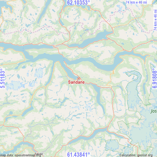
Sandane GPS coordinates[2]
61° 46' 21.972" North, 6° 12' 53.856" East
| Map corner | latitude | longitude |
|---|---|---|
| Upper-left | 62.10353°, | 5.51183° |
| Center: | 61.77277°, | 6.21496° |
| Lower-right: | 61.43841°, | 6.91808° |
| Map W x H: | 74×74 km | = 46×46mi |
| max Lat: | 71.04137° ⇑37.8% North |
| Sandane: | 61.77277° |
| min Lat: | ⇓62.2% South 58.0274° |
| min Long | Sandane | max Long |
| 4.71485° | 6.21496° | 31.11066° |
| W 19.8%⇐ | ⇒80.2% E |
Elevation
Elevation of Sandane is 60 m = 197 ft, and this is 44.2 m = 145 ft below average elevation for this country.
| Max E: |
897 m = 2943 ft | 45.1% |
| Avg. | 104.2 m = 342 ft | |
| Sandane | 60 m = 197 ft | |
Min E: |
1 m = 3 ft | 54.9% |
See also: Norway elevation on elevation.city.
Geographical zone
Sandane is located in North temperate zone (between Tropic of Cancer and the Arctic Circle). Distance of this North polar circle is 532.7 km =331 mi to North.| Distance of | km | miles | from Sandane |
|---|---|---|---|
| North Pole | 3138.6 | 1950.2 | to North |
| Arctic Circle | 532.7 | 331 | to North |
| Tropic Cancer | 4262.6 | 2648.7 | to South |
| Equator | 6868.5 | 4267.9 | to South |


Nearby cities:
15 places around Sandane: (largest is in red/bold)
• Fiskå
50.1 km =31.1 mi,  316°
316°
• Førde
40.4 km =25.1 mi,  207°
207°
• Hornindal
27.2 km =16.9 mi,  36°
36°
• Larsnes
58.3 km =36.2 mi,  325°
325°
• Måløy
60.5 km =37.6 mi,  287°
287°
• Naustdal
39.2 km =24.4 mi,  222°
222°
• Nordfjordeid
19.6 km =12.2 mi, 322°
• Raudeberg
61.2 km =38 mi, 292°
• Sande
54.5 km =33.9 mi,  203°
203°
• Selje
54.5 km =33.9 mi,  303°
303°
• Skei
26.4 km =16.4 mi,  148°
148°
• Stryn
30.1 km =18.7 mi,  61°
61°
• Svelgen
48.4 km =30.1 mi,  269°
269°
• Volda
42.2 km =26.2 mi,  349°
349°
• Ørsta
47.7 km =29.6 mi, 354°
Sources, notices
• [Note1] Compared only with cities in Norway existing in our database
• [Src1] Map data: © OpenStreetMap contributors (CC-BY-SA)
• [Src2] Other city data from geonames.org with taken over terms of usage.
• [Src3] Geographical zone / Annual Mean Temperature by Robert A. Rohde @ Wikipedia
