Naustdal geodata
Naustdal (Sogn og Fjordane) is a seat of a second-order administrative division; located in Norway in Europe/Oslo (GMT+2) time zone. With population of 1,071 people, there are 301 cities with bigger population in this country. Compared to other cities in Norway, 60.3% of cities are located further ↓South; 87.2% of cities are located further →East and 52.7% of cities have higher elevation than Naustdal. Note1


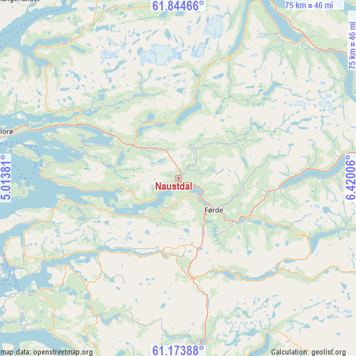
Naustdal GPS coordinates[2]
61° 30' 39.888" North, 5° 43' 0.984" East
| Map corner | latitude | longitude |
|---|---|---|
| Upper-left | 61.84466°, | 5.01381° |
| Center: | 61.51108°, | 5.71694° |
| Lower-right: | 61.17388°, | 6.42006° |
| Map W x H: | 74.6×74.6 km | = 46.4×46.4mi |
| max Lat: | 71.04137° ⇑39.7% North |
| Naustdal: | 61.51108° |
| min Lat: | ⇓60.3% South 58.0274° |
| min Long | Naustdal | max Long |
| 4.71485° | 5.71694° | 31.11066° |
| W 12.8%⇐ | ⇒87.2% E |
Elevation
Elevation of Naustdal is 40 m = 131 ft, and this is 64.2 m = 211 ft below average elevation for this country.
| Max E: |
897 m = 2943 ft | 52.7% |
| Avg. | 104.2 m = 342 ft | |
| Naustdal | 40 m = 131 ft | |
Min E: |
1 m = 3 ft | 47.3% |
See also: Norway elevation on elevation.city.
Geographical zone
Naustdal is located in North temperate zone (between Tropic of Cancer and the Arctic Circle). Distance of this North polar circle is 561.8 km =349.1 mi to North.| Distance of | km | miles | from Naustdal |
|---|---|---|---|
| North Pole | 3167.7 | 1968.3 | to North |
| Arctic Circle | 561.8 | 349.1 | to North |
| Tropic Cancer | 4233.5 | 2630.6 | to South |
| Equator | 6839.4 | 4249.8 | to South |


Nearby cities:
15 places around Naustdal: (largest is in red/bold)
• Askvoll
39.3 km =24.4 mi,  242°
242°
• Balestrand
55 km =34.2 mi,  127°
127°
• Dale
23.5 km =14.6 mi,  225°
225°
• Florø
37.5 km =23.3 mi,  285°
285°
• Førde
9.9 km =6.2 mi, 131°
• Hyllestad
44 km =27.3 mi,  210°
210°
• Høyanger
37.5 km =23.3 mi,  148°
148°
• Måløy
56.9 km =35.4 mi,  326°
326°
• Nordfjordeid
46.8 km =29.1 mi,  17°
17°
• Raudeberg
60.9 km =37.8 mi, 329°
• Sandane
39.2 km =24.4 mi,  42°
42°
• Sande
21.1 km =13.1 mi,  168°
168°
• Selje
62.4 km =38.8 mi,  341°
341°
• Skei
40.9 km =25.4 mi,  80°
80°
• Svelgen
36.4 km =22.6 mi,  322°
322°
Sources, notices
• [Note1] Compared only with cities in Norway existing in our database
• [Src1] Map data: © OpenStreetMap contributors (CC-BY-SA)
• [Src2] Other city data from geonames.org with taken over terms of usage.
• [Src3] Geographical zone / Annual Mean Temperature by Robert A. Rohde @ Wikipedia
