Lillehammer geodata
Lillehammer (Oppland) is a seat of a first-order administrative division; located in Norway in Europe/Oslo (GMT+2) time zone. With population of 19,096 people, there are 26 cities with bigger population in this country. Compared to other cities in Norway, 56.5% of cities are located further ↓South; 57.9% of cities are located further ←West and 85.9% of cities have lower elevation than Lillehammer. Note1


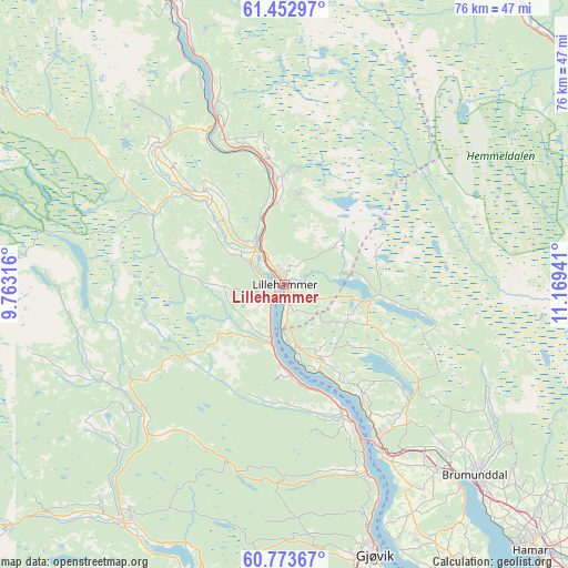
Lillehammer GPS coordinates[2]
61° 6' 54.504" North, 10° 27' 58.608" East
| Map corner | latitude | longitude |
|---|---|---|
| Upper-left | 61.45297°, | 9.76316° |
| Center: | 61.11514°, | 10.46628° |
| Lower-right: | 60.77367°, | 11.16941° |
| Map W x H: | 75.5×75.5 km | = 46.9×46.9mi |
| max Lat: | 71.04137° ⇑43.5% North |
| Lillehammer: | 61.11514° |
| min Lat: | ⇓56.5% South 58.0274° |
| min Long | Lillehammer | max Long |
| 4.71485° | 10.46628° | 31.11066° |
| W 57.9%⇐ | ⇒42.1% E |
Elevation
Elevation of Lillehammer is 210 m = 689 ft, and this is 105.8 m = 347 ft above average elevation for this country.
| Max E: |
897 m = 2943 ft | 14.1% |
| Lillehammer | 210 m 689 ft | |
| Avg. | 104.2 m = 342 ft | |
Min E: |
1 m = 3 ft | 85.9% |
See also: Norway elevation on elevation.city.
Geographical zone
Lillehammer is located in North temperate zone (between Tropic of Cancer and the Arctic Circle). Distance of this North polar circle is 605.8 km =376.4 mi to North.| Distance of | km | miles | from Lillehammer |
|---|---|---|---|
| North Pole | 3211.7 | 1995.7 | to North |
| Arctic Circle | 605.8 | 376.4 | to North |
| Tropic Cancer | 4189.4 | 2603.2 | to South |
| Equator | 6795.4 | 4222.5 | to South |


Nearby cities:
15 places around Lillehammer: (largest is in red/bold)
• Brumunddal
36.5 km =22.7 mi,  135°
135°
• Dokka
37.7 km =23.4 mi,  214°
214°
• Follebu
14.8 km =9.2 mi,  319°
319°
• Forset
19.8 km =12.3 mi,  299°
299°
• Gjøvik
37.5 km =23.3 mi,  161°
161°
• Hamar
48.2 km =30 mi, 137°
• Hov
46.7 km =29 mi,  187°
187°
• Moelv
23.8 km =14.8 mi,  148°
148°
• Raufoss
44 km =27.3 mi,  169°
169°
• Reinsvoll
49.1 km =30.5 mi, 170°
• Rena
48.6 km =30.2 mi,  87°
87°
• Ringebu
49.3 km =30.6 mi,  339°
339°
• Segalstad
18.1 km =11.2 mi, 316°
• Segalstad bru
18.1 km =11.2 mi,  313°
313°
• Tretten
23.8 km =14.8 mi, 338°
Sources, notices
• [Note1] Compared only with cities in Norway existing in our database
• [Src1] Map data: © OpenStreetMap contributors (CC-BY-SA)
• [Src2] Other city data from geonames.org with taken over terms of usage.
• [Src3] Geographical zone / Annual Mean Temperature by Robert A. Rohde @ Wikipedia
