Hemsedal geodata
Hemsedal (Buskerud) is a populated place; located in Norway in Europe/Oslo (GMT+2) time zone. With population of 1,876 people, there are 212 cities with bigger population in this country. Compared to other cities in Norway, 54.1% of cities are located further ↓South; 63.6% of cities are located further →East and 98.4% of cities have lower elevation than Hemsedal. Note1


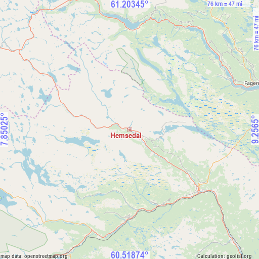
Hemsedal GPS coordinates[2]
60° 51' 46.548" North, 8° 33' 12.132" East
| Map corner | latitude | longitude |
|---|---|---|
| Upper-left | 61.20345°, | 7.85025° |
| Center: | 60.86293°, | 8.55337° |
| Lower-right: | 60.51874°, | 9.2565° |
| Map W x H: | 76.1×76.1 km | = 47.3×47.3mi |
| max Lat: | 71.04137° ⇑45.9% North |
| Hemsedal: | 60.86293° |
| min Lat: | ⇓54.1% South 58.0274° |
| min Long | Hemsedal | max Long |
| 4.71485° | 8.55337° | 31.11066° |
| W 36.4%⇐ | ⇒63.6% E |
Elevation
Elevation of Hemsedal is 620 m = 2034 ft, and this is 515.8 m = 1692 ft above average elevation for this country.
| Max E: |
897 m = 2943 ft | 1.6% |
| Hemsedal | 620 m 2034 ft | |
| Avg. | 104.2 m = 342 ft | |
Min E: |
1 m = 3 ft | 98.4% |
See also: Norway elevation on elevation.city.
Geographical zone
Hemsedal is located in North temperate zone (between Tropic of Cancer and the Arctic Circle). Distance of this North polar circle is 633.9 km =393.9 mi to North.| Distance of | km | miles | from Hemsedal |
|---|---|---|---|
| North Pole | 3239.7 | 2013.1 | to North |
| Arctic Circle | 633.9 | 393.9 | to North |
| Tropic Cancer | 4161.4 | 2585.8 | to South |
| Equator | 6767.3 | 4205 | to South |


Nearby cities:
15 places around Hemsedal: (largest is in red/bold)
• Aurdal
47.1 km =29.3 mi,  81°
81°
• Bagn
54.3 km =33.7 mi,  94°
94°
• Bruflat
58.9 km =36.6 mi, 87°
• Fagernes
39.2 km =24.4 mi,  69°
69°
• Geilo
41.2 km =25.6 mi,  207°
207°
• Gol
27.9 km =17.3 mi,  130°
130°
• Heggenes
41.8 km =26 mi,  41°
41°
• Hol
31 km =19.3 mi, 207°
• Leira
41.8 km =26 mi, 73°
• Nesbyen
44.4 km =27.6 mi,  137°
137°
• Slidre
34.1 km =21.2 mi, 42°
• Trøim
0.7 km =0.4 mi,  107°
107°
• Vang
29.2 km =18.1 mi,  2°
2°
• Ål
25.9 km =16.1 mi,  179°
179°
• Årdalstangen
61.7 km =38.3 mi,  312°
312°
Sources, notices
• [Note1] Compared only with cities in Norway existing in our database
• [Src1] Map data: © OpenStreetMap contributors (CC-BY-SA)
• [Src2] Other city data from geonames.org with taken over terms of usage.
• [Src3] Geographical zone / Annual Mean Temperature by Robert A. Rohde @ Wikipedia
