Nesbyen geodata
Nesbyen (Buskerud) is a seat of a second-order administrative division; located in Norway in Europe/Oslo (GMT+2) time zone. With population of 2,086 people, there are 195 cities with bigger population in this country. Compared to other cities in Norway, 50.9% of cities are located further ↑North; 58.7% of cities are located further →East and 76.7% of cities have lower elevation than Nesbyen. Note1


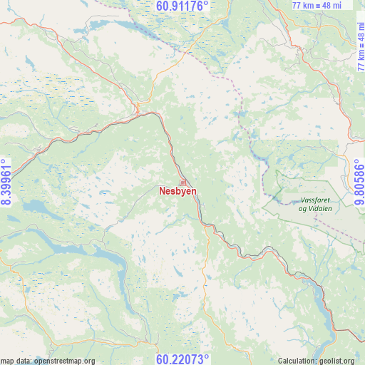
Nesbyen GPS coordinates[2]
60° 34' 5.124" North, 9° 6' 9.864" East
| Map corner | latitude | longitude |
|---|---|---|
| Upper-left | 60.91176°, | 8.39961° |
| Center: | 60.56809°, | 9.10274° |
| Lower-right: | 60.22073°, | 9.80586° |
| Map W x H: | 76.8×76.8 km | = 47.7×47.7mi |
| max Lat: | 71.04137° ⇑50.9% North |
| Nesbyen: | 60.56809° |
| min Lat: | ⇓49.1% South 58.0274° |
| min Long | Nesbyen | max Long |
| 4.71485° | 9.10274° | 31.11066° |
| W 41.3%⇐ | ⇒58.7% E |
Elevation
Elevation of Nesbyen is 154 m = 505 ft, and this is 49.8 m = 163 ft above average elevation for this country.
| Max E: |
897 m = 2943 ft | 23.3% |
| Nesbyen | 154 m 505 ft | |
| Avg. | 104.2 m = 342 ft | |
Min E: |
1 m = 3 ft | 76.7% |
See also: Norway elevation on elevation.city.
Geographical zone
Nesbyen is located in North temperate zone (between Tropic of Cancer and the Arctic Circle). Distance of this North polar circle is 666.6 km =414.2 mi to North.| Distance of | km | miles | from Nesbyen |
|---|---|---|---|
| North Pole | 3272.5 | 2033.4 | to North |
| Arctic Circle | 666.6 | 414.2 | to North |
| Tropic Cancer | 4128.6 | 2565.4 | to South |
| Equator | 6734.5 | 4184.6 | to South |


Nearby cities:
15 places around Nesbyen: (largest is in red/bold)
• Aurdal
43.1 km =26.8 mi,  23°
23°
• Bagn
37.4 km =23.2 mi,  40°
40°
• Bruflat
46.1 km =28.6 mi, 39°
• Fagernes
47 km =29.2 mi,  8°
8°
• Flå
24.9 km =15.5 mi,  127°
127°
• Geilo
49.2 km =30.6 mi,  265°
265°
• Gol
17.1 km =10.6 mi,  329°
329°
• Hemsedal
44.4 km =27.6 mi,  317°
317°
• Hol
44.5 km =27.7 mi,  276°
276°
• Leira
45.9 km =28.5 mi, 13°
• Noresund
51.8 km =32.2 mi,  146°
146°
• Rødberg
34.5 km =21.4 mi,  194°
194°
• Slidre
58.2 km =36.2 mi,  353°
353°
• Trøim
43.8 km =27.2 mi, 318°
• Ål
30.4 km =18.9 mi, 283°
Sources, notices
• [Note1] Compared only with cities in Norway existing in our database
• [Src1] Map data: © OpenStreetMap contributors (CC-BY-SA)
• [Src2] Other city data from geonames.org with taken over terms of usage.
• [Src3] Geographical zone / Annual Mean Temperature by Robert A. Rohde @ Wikipedia
