Askvoll geodata
Askvoll (Sogn og Fjordane) is a seat of a second-order administrative division; located in Norway in Europe/Oslo (GMT+2) time zone. In our database, there are 488 cities with bigger population. Compared to other cities in Norway, 59.7% of cities are located further ↓South; 98.3% of cities are located further →East and 100% of cities have higher elevation than Askvoll. Note1


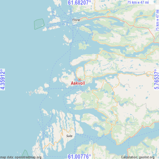
Askvoll GPS coordinates[2]
61° 20' 48.228" North, 5° 3' 44.064" East
| Map corner | latitude | longitude |
|---|---|---|
| Upper-left | 61.68207°, | 4.35912° |
| Center: | 61.34673°, | 5.06224° |
| Lower-right: | 61.00776°, | 5.76537° |
| Map W x H: | 75×75 km | = 46.6×46.6mi |
| max Lat: | 71.04137° ⇑40.3% North |
| Askvoll: | 61.34673° |
| min Lat: | ⇓59.7% South 58.0274° |
| min Long | Askvoll | max Long |
| 4.71485° | 5.06224° | 31.11066° |
| W 1.7%⇐ | ⇒98.3% E |
Elevation
Elevation of Askvoll is 1 m = 3 ft, and this is 103.2 m = 339 ft below average elevation for this country.
| Max E: |
897 m = 2943 ft | 100% |
| Avg. | 104.2 m = 342 ft | |
| Askvoll | 1 m = 3 ft | |
Min E: |
1 m = 3 ft | 0% |
See also: Norway elevation on elevation.city.
Geographical zone
Askvoll is located in North temperate zone (between Tropic of Cancer and the Arctic Circle). Distance of this North polar circle is 580.1 km =360.5 mi to North.| Distance of | km | miles | from Askvoll |
|---|---|---|---|
| North Pole | 3185.9 | 1979.6 | to North |
| Arctic Circle | 580.1 | 360.5 | to North |
| Tropic Cancer | 4215.2 | 2619.2 | to South |
| Equator | 6821.1 | 4238.4 | to South |


Nearby cities:
15 places around Askvoll: (largest is in red/bold)
• Austrheim
63.7 km =39.6 mi,  186°
186°
• Dale
18.1 km =11.2 mi,  84°
84°
• Eivindvik
40.6 km =25.2 mi,  179°
179°
• Fedje
65.8 km =40.9 mi,  196°
196°
• Florø
28.2 km =17.5 mi,  356°
356°
• Førde
43.9 km =27.3 mi,  74°
74°
• Hardbakke
32.4 km =20.1 mi, 201°
• Hyllestad
23.2 km =14.4 mi,  147°
147°
• Høyanger
56.3 km =35 mi,  104°
104°
• Masfjorden
62.3 km =38.7 mi,  167°
167°
• Måløy
65.5 km =40.7 mi,  2°
2°
• Naustdal
39.3 km =24.4 mi,  62°
62°
• Sande
39.3 km =24.4 mi,  93°
93°
• Svelgen
48.6 km =30.2 mi,  14°
14°
• Årås
63.7 km =39.6 mi, 186°
Sources, notices
• [Note1] Compared only with cities in Norway existing in our database
• [Src1] Map data: © OpenStreetMap contributors (CC-BY-SA)
• [Src2] Other city data from geonames.org with taken over terms of usage.
• [Src3] Geographical zone / Annual Mean Temperature by Robert A. Rohde @ Wikipedia
