Punta Róbalo geodata
Punta Róbalo (Bocas del Toro) is a seat of a third-order administrative division; located in Panama in America/Panama (GMT-5) time zone. With population of 149 people, there are 631 cities with bigger population in this country. Compared to other cities in Panama, 84.8% of cities are located further ↓South; 81.7% of cities are located further →East and 99.4% of cities have higher elevation than Punta Róbalo. Note1


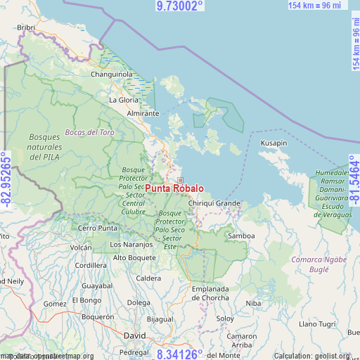
Punta Róbalo GPS coordinates[2]
9° 2' 10.716" North, 82° 14' 58.272" West
| Map corner | latitude | longitude |
|---|---|---|
| Upper-left | 9.73002°, | -82.95265° |
| Center: | 9.03631°, | -82.24952° |
| Lower-right: | 8.34126°, | -81.5464° |
| Map W x H: | 154.4×154.4 km | = 95.9×95.9mi |
| max Lat: | 9.60898° ⇑15.2% North |
| Punta Róbalo: | 9.03631° |
| min Lat: | ⇓84.8% South 7.26534° |
| min Long | Punta Róbalo | max Long |
| -82.91275° | -82.24952° | -77.38965° |
| W 18.3%⇐ | ⇒81.7% E |
Elevation
Elevation of Punta Róbalo is 3 m = 10 ft, and this is 169.1 m = 555 ft below average elevation for this country.
| Max E: |
2103 m = 6900 ft | 99.4% |
| Avg. | 172.1 m = 565 ft | |
| Punta Róbalo | 3 m = 10 ft | |
Min E: |
-1 m = -3 ft | 0.6% |
See also: Panama elevation on elevation.city.
Geographical zone
Punta Róbalo is located in North Torrid zone (between Equator and Tropic of Cancer). Distance of Equator is 1004.7 km =624.3 mi to South.| Distance of | km | miles | from Punta Róbalo |
|---|---|---|---|
| North Pole | 9002.3 | 5593.8 | to North |
| Arctic Circle | 6396.4 | 3974.5 | to North |
| Tropic Cancer | 1601.2 | 994.9 | to North |
| Equator | 1004.7 | 624.3 | to South |


Nearby cities:
15 places around Punta Róbalo: (largest is in red/bold)
• Cauchero
13 km =8.1 mi,  352°
352°
• Cayo de Agua
24.8 km =15.4 mi,  59°
59°
• Chiriquí Grande
17.6 km =10.9 mi,  124°
124°
• Isla Bastimentos
32 km =19.9 mi,  23°
23°
• Isla Tigre
24.1 km =15 mi,  50°
50°
• Los Chiricanos
7.5 km =4.7 mi,  149°
149°
• Miramar
4.7 km =2.9 mi,  169°
169°
• Norteño
8.1 km =5 mi,  242°
242°
• Pueblo Nuevo
17.5 km =10.9 mi, 170°
• Punta Laurel
17.8 km =11.1 mi, 49°
• Punta Peña
15.1 km =9.4 mi, 151°
• Quebrada Pastor
22.9 km =14.2 mi,  327°
327°
• Rámbala
14.9 km =9.3 mi, 149°
• San Cristóbal
27.3 km =17 mi,  355°
355°
• Valle del Risco
29.1 km =18.1 mi,  317°
317°
Sources, notices
• [Note1] Compared only with cities in Panama existing in our database
• [Src1] Map data: © OpenStreetMap contributors (CC-BY-SA)
• [Src2] Other city data from geonames.org with taken over terms of usage.
• [Src3] Geographical zone / Annual Mean Temperature by Robert A. Rohde @ Wikipedia
