Las Guabas geodata
Las Guabas (Herrera) is a seat of a third-order administrative division; located in Panama in America/Panama (GMT-5) time zone. With population of 165 people, there are 622 cities with bigger population in this country. Compared to other cities in Panama, 86.1% of cities are located further ↑North; 57.1% of cities are located further →East and 71.4% of cities have lower elevation than Las Guabas. Note1


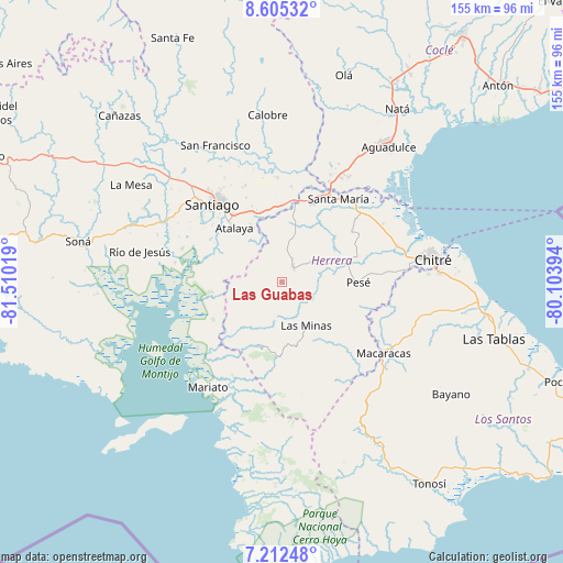
Las Guabas GPS coordinates[2]
7° 54' 34.164" North, 80° 48' 25.416" West
| Map corner | latitude | longitude |
|---|---|---|
| Upper-left | 8.60532°, | -81.51019° |
| Center: | 7.90949°, | -80.80706° |
| Lower-right: | 7.21248°, | -80.10394° |
| Map W x H: | 154.9×154.9 km | = 96.3×96.3mi |
| max Lat: | 9.60898° ⇑86.1% North |
| Las Guabas: | 7.90949° |
| min Lat: | ⇓13.9% South 7.26534° |
| min Long | Las Guabas | max Long |
| -82.91275° | -80.80706° | -77.38965° |
| W 42.9%⇐ | ⇒57.1% E |
Elevation
Elevation of Las Guabas is 168 m = 551 ft, and this is 4.1 m = 13 ft below average elevation for this country.
| Max E: |
2103 m = 6900 ft | 28.6% |
| Avg. | 172.1 m = 565 ft | |
| Las Guabas | 168 m = 551 ft | |
Min E: |
-1 m = -3 ft | 71.4% |
See also: Panama elevation on elevation.city.
Geographical zone
Las Guabas is located in North Torrid zone (between Equator and Tropic of Cancer). Distance of Equator is 879.5 km =546.5 mi to South.| Distance of | km | miles | from Las Guabas |
|---|---|---|---|
| North Pole | 9127.6 | 5671.6 | to North |
| Arctic Circle | 6521.7 | 4052.4 | to North |
| Tropic Cancer | 1726.5 | 1072.8 | to North |
| Equator | 879.5 | 546.5 | to South |


Nearby cities:
15 places around Las Guabas: (largest is in red/bold)
• Cabuya
9.4 km =5.8 mi,  30°
30°
• Cerro Largo
8.8 km =5.5 mi,  197°
197°
• Chumical
11.4 km =7.1 mi,  128°
128°
• El Barrito
16.5 km =10.3 mi,  290°
290°
• El Limón
16.9 km =10.5 mi,  12°
12°
• La Carrillo
10.8 km =6.7 mi,  308°
308°
• La Montañuela
14.2 km =8.8 mi,  334°
334°
• La Trinidad
11.4 km =7.1 mi,  87°
87°
• Las Minas
14.3 km =8.9 mi,  151°
151°
• Leones Arriba
16.5 km =10.3 mi,  194°
194°
• Limón de Tijeras
15.5 km =9.6 mi,  228°
228°
• Llano Grande
12.8 km =8 mi,  55°
55°
• Ocú
4.6 km =2.9 mi,  41°
41°
• Peñas Chatas
11.7 km =7.3 mi,  1°
1°
• San José
6.5 km =4 mi,  316°
316°
Sources, notices
• [Note1] Compared only with cities in Panama existing in our database
• [Src1] Map data: © OpenStreetMap contributors (CC-BY-SA)
• [Src2] Other city data from geonames.org with taken over terms of usage.
• [Src3] Geographical zone / Annual Mean Temperature by Robert A. Rohde @ Wikipedia
