Panao geodata
Panao (Huanuco) is a seat of a third-order administrative division; located in Peru in America/Lima (GMT-5) time zone. In our database, there are 305 cities with bigger population. Compared to other cities in Peru, 61.8% of cities are located further ↓South; 52.8% of cities are located further →East and 58.7% of cities have higher elevation than Panao. Note1


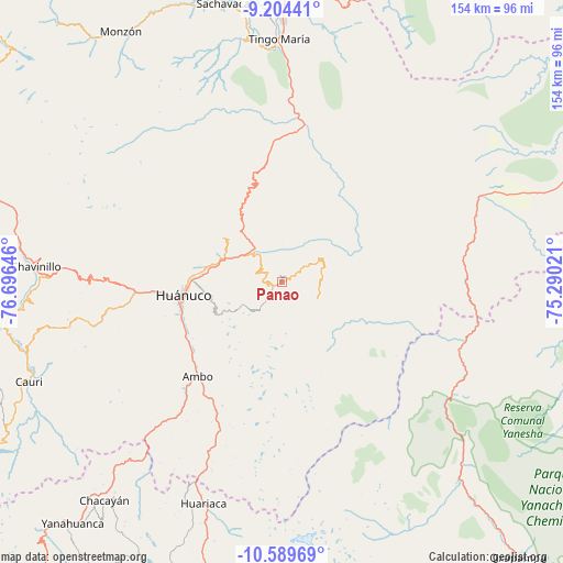
Panao GPS coordinates[2]
9° 53' 52.008" South, 75° 59' 35.988" West
| Map corner | latitude | longitude |
|---|---|---|
| Upper-left | -9.20441°, | -76.69646° |
| Center: | -9.89778°, | -75.99333° |
| Lower-right: | -10.58969°, | -75.29021° |
| Map W x H: | 154×154 km | = 95.7×95.7mi |
| max Lat: | -0.96667° ⇑38.2% North |
| Panao: | -9.89778° |
| min Lat: | ⇓61.8% South -18.01465° |
| min Long | Panao | max Long |
| -81.30472° | -75.99333° | -69.04167° |
| W 47.2%⇐ | ⇒52.8% E |
Elevation
Elevation of Panao is 2504 m = 8215 ft, and this is 185.3 m = 608 ft above average elevation for this country.
| Max E: |
5022 m = 16476 ft | 58.7% |
| Panao | 2504 m 8215 ft | |
| Avg. | 2318.7 m = 7607 ft | |
Min E: |
1 m = 3 ft | 41.3% |
See also: Peru elevation on elevation.city.
Geographical zone
Panao is located in South Torrid zone (between Equator and Tropic of Capricorn). Distance of Equator is 1100.5 km =683.8 mi to North.| Distance of | km | miles | from Panao |
|---|---|---|---|
| Equator | 1100.5 | 683.8 | to North |
| Tropic Capricorn | 1505.4 | 935.4 | to South |
| Antarctic Circle | 6300.6 | 3915 | to South |
| South Pole | 8906.5 | 5534.2 | to South |


Nearby cities:
15 places around Panao: (largest is in red/bold)
• Acomayo
13.8 km =8.6 mi,  321°
321°
• Ambo
34.7 km =21.6 mi,  221°
221°
• Cayhuayna
28.8 km =17.9 mi,  256°
256°
• Chaglla
11.6 km =7.2 mi,  58°
58°
• Churubamba
17.3 km =10.7 mi,  297°
297°
• Conchamarca
28.9 km =18 mi,  237°
237°
• Huacar
39.5 km =24.5 mi, 222°
• Huancapallac
46.1 km =28.6 mi,  270°
270°
• Huánuco
27.5 km =17.1 mi, 262°
• Las Palmas
57.1 km =35.5 mi,  358°
358°
• Margos
59.2 km =36.8 mi, 258°
• Paucarbamba
25.7 km =16 mi, 258°
• Pozuzo
53.8 km =33.4 mi,  110°
110°
• San Rafael
53.2 km =33.1 mi,  203°
203°
• Tomay Kichwa
31.2 km =19.4 mi,  230°
230°
Sources, notices
• [Note1] Compared only with cities in Peru existing in our database
• [Src1] Map data: © OpenStreetMap contributors (CC-BY-SA)
• [Src2] Other city data from geonames.org with taken over terms of usage.
• [Src3] Geographical zone / Annual Mean Temperature by Robert A. Rohde @ Wikipedia
