Sama Grande geodata
Sama Grande (Tacna) is a seat of a third-order administrative division; located in Peru in America/Lima (GMT-5) time zone. In our database, there are 305 cities with bigger population. Compared to other cities in Peru, 99.6% of cities are located further ↑North; 92.7% of cities are located further ←West and 77.6% of cities have higher elevation than Sama Grande. Note1


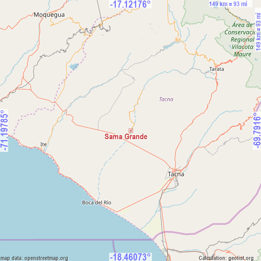
Sama Grande GPS coordinates[2]
17° 47' 33" South, 70° 29' 40.992" West
| Map corner | latitude | longitude |
|---|---|---|
| Upper-left | -17.12176°, | -71.19785° |
| Center: | -17.7925°, | -70.49472° |
| Lower-right: | -18.46073°, | -69.7916° |
| Map W x H: | 148.9×148.9 km | = 92.5×92.5mi |
| max Lat: | -0.96667° ⇑99.6% North |
| Sama Grande: | -17.7925° |
| min Lat: | ⇓0.4% South -18.01465° |
| min Long | Sama Grande | max Long |
| -81.30472° | -70.49472° | -69.04167° |
| W 92.7%⇐ | ⇒7.3% E |
Elevation
Elevation of Sama Grande is 520 m = 1706 ft, and this is 1798.7 m = 5901 ft below average elevation for this country.
| Max E: |
5022 m = 16476 ft | 77.6% |
| Avg. | 2318.7 m = 7607 ft | |
| Sama Grande | 520 m = 1706 ft | |
Min E: |
1 m = 3 ft | 22.4% |
See also: Peru elevation on elevation.city.
Geographical zone
Sama Grande is located in South Torrid zone (between Equator and Tropic of Capricorn). Distance of this Southern Tropic circle is 627.6 km =390 mi to South.| Distance of | km | miles | from Sama Grande |
|---|---|---|---|
| Equator | 1978.3 | 1229.3 | to North |
| Tropic Capricorn | 627.6 | 390 | to South |
| Antarctic Circle | 5422.8 | 3369.6 | to South |
| South Pole | 8028.7 | 4988.8 | to South |


Nearby cities:
15 places around Sama Grande: (largest is in red/bold)
• Calana
36.6 km =22.7 mi,  116°
116°
• Chipispaya
44 km =27.3 mi,  41°
41°
• Chucatamani
52.5 km =32.6 mi,  48°
48°
• Curibaya
48.6 km =30.2 mi,  20°
20°
• Estique
57.6 km =35.8 mi,  61°
61°
• Huanuara
56.3 km =35 mi, 18°
• Ilabaya
41.4 km =25.7 mi,  357°
357°
• Las Yaras
10.7 km =6.6 mi,  222°
222°
• Locumba
34.7 km =21.6 mi,  305°
305°
• Palca
56.6 km =35.2 mi,  88°
88°
• Pocollay
37.1 km =23.1 mi,  126°
126°
• Sobraya
38.8 km =24.1 mi, 125°
• Tacna
35.5 km =22.1 mi, 134°
• Tarucachi
57.7 km =35.9 mi, 58°
• Totoral
45.1 km =28 mi, 17°
Sources, notices
• [Note1] Compared only with cities in Peru existing in our database
• [Src1] Map data: © OpenStreetMap contributors (CC-BY-SA)
• [Src2] Other city data from geonames.org with taken over terms of usage.
• [Src3] Geographical zone / Annual Mean Temperature by Robert A. Rohde @ Wikipedia
