Lanlacuni Bajo geodata
Lanlacuni Bajo (Puno) is a seat of a third-order administrative division; located in Peru in America/Lima (GMT-5) time zone. In our database, there are 305 cities with bigger population. Compared to other cities in Peru, 66.3% of cities are located further ↑North; 93% of cities are located further ←West and 75.3% of cities have higher elevation than Lanlacuni Bajo. Note1


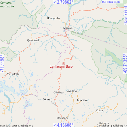
Lanlacuni Bajo GPS coordinates[2]
13° 28' 59.988" South, 70° 25' 0.012" West
| Map corner | latitude | longitude |
|---|---|---|
| Upper-left | -12.79862°, | -71.1198° |
| Center: | -13.48333°, | -70.41667° |
| Lower-right: | -14.16608°, | -69.71355° |
| Map W x H: | 152×152.1 km | = 94.4×94.5mi |
| max Lat: | -0.96667° ⇑66.3% North |
| Lanlacuni Bajo: | -13.48333° |
| min Lat: | ⇓33.7% South -18.01465° |
| min Long | Lanlacuni Bajo | max Long |
| -81.30472° | -70.41667° | -69.04167° |
| W 93%⇐ | ⇒7% E |
Elevation
Elevation of Lanlacuni Bajo is 707 m = 2320 ft, and this is 1611.7 m = 5288 ft below average elevation for this country.
| Max E: |
5022 m = 16476 ft | 75.3% |
| Avg. | 2318.7 m = 7607 ft | |
| Lanlacuni Bajo | 707 m = 2320 ft | |
Min E: |
1 m = 3 ft | 24.7% |
See also: Peru elevation on elevation.city.
Geographical zone
Lanlacuni Bajo is located in South Torrid zone (between Equator and Tropic of Capricorn). Distance of this Southern Tropic circle is 1106.7 km =687.7 mi to South.| Distance of | km | miles | from Lanlacuni Bajo |
|---|---|---|---|
| Equator | 1499.2 | 931.6 | to North |
| Tropic Capricorn | 1106.7 | 687.7 | to South |
| Antarctic Circle | 5902 | 3667.3 | to South |
| South Pole | 8507.9 | 5286.6 | to South |


Nearby cities:
15 places around Lanlacuni Bajo: (largest is in red/bold)
• Ajoyani
72.4 km =45 mi,  161°
161°
• Antauta
102.1 km =63.4 mi,  176°
176°
• Coasa
75.2 km =46.7 mi,  139°
139°
• Corani
47.8 km =29.7 mi,  205°
205°
• Crucero
106.3 km =66.1 mi,  154°
154°
• Limbani
107.9 km =67 mi,  133°
133°
• Macusani
66.7 km =41.4 mi, 181°
• Marcapata
61.2 km =38 mi,  258°
258°
• Ocongate
105.9 km =65.8 mi, 261°
• Ollachea
37.8 km =23.5 mi,  190°
190°
• Phara
110.2 km =68.5 mi, 132°
• Pillcopata
93.5 km =58.1 mi,  299°
299°
• Potoni
106.3 km =66.1 mi, 160°
• Quince Mil
46 km =28.6 mi,  307°
307°
• Usicayos
86.3 km =53.6 mi, 145°
Sources, notices
• [Note1] Compared only with cities in Peru existing in our database
• [Src1] Map data: © OpenStreetMap contributors (CC-BY-SA)
• [Src2] Other city data from geonames.org with taken over terms of usage.
• [Src3] Geographical zone / Annual Mean Temperature by Robert A. Rohde @ Wikipedia
