Sula geodata
Sula (Central Luzon) is a populated place; located in Philippines in Asia/Manila (GMT+8) time zone. With population of 3,431 people, there are 2114 cities with bigger population in this country. Compared to other cities in Philippines, 81.4% of cities are located further ↓South; 94% of cities are located further →East and 82.9% of cities have lower elevation than Sula. Note1


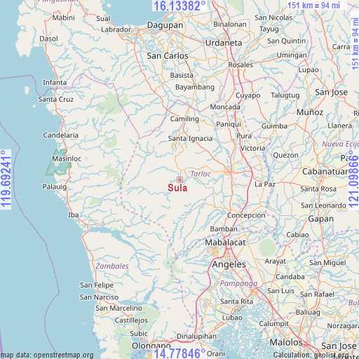
Sula GPS coordinates[2]
15° 27' 26.1" North, 120° 23' 43.908" East
| Map corner | latitude | longitude |
|---|---|---|
| Upper-left | 16.13382°, | 119.69241° |
| Center: | 15.45725°, | 120.39553° |
| Lower-right: | 14.77846°, | 121.09866° |
| Map W x H: | 150.7×150.7 km | = 93.6×93.6mi |
| max Lat: | 20.78733° ⇑18.6% North |
| Sula: | 15.45725° |
| min Lat: | ⇓81.4% South 4.65442° |
| min Long | Sula | max Long |
| 117.04868° | 120.39553° | 126.58417° |
| W 6%⇐ | ⇒94% E |
Elevation
Elevation of Sula is 115 m = 377 ft, and this is 27.1 m = 89 ft above average elevation for this country.
| Max E: |
2262 m = 7421 ft | 17.1% |
| Sula | 115 m 377 ft | |
| Avg. | 87.9 m = 288 ft | |
Min E: |
-2 m = -7 ft | 82.9% |
See also: Philippines elevation on elevation.city.
Geographical zone
Sula is located in North Torrid zone (between Equator and Tropic of Cancer). Distance of this Northern Tropic circle is 887.2 km =551.3 mi to North.| Distance of | km | miles | from Sula |
|---|---|---|---|
| North Pole | 8288.4 | 5150.2 | to North |
| Arctic Circle | 5682.5 | 3530.9 | to North |
| Tropic Cancer | 887.2 | 551.3 | to North |
| Equator | 1718.7 | 1068 | to South |


Nearby cities:
15 places around Sula: (largest is in red/bold)
• Arminia
18.2 km =11.3 mi,  97°
97°
• Burgos
4.3 km =2.7 mi,  13°
13°
• Calayaan
17.7 km =11 mi,  46°
46°
• Iba
1.6 km =1 mi, 103°
• Mababanaba
8.3 km =5.2 mi,  57°
57°
• Mamonit
14.4 km =8.9 mi,  0°
0°
• Moriones
7.5 km =4.7 mi,  86°
86°
• Nambalan
17.2 km =10.7 mi,  23°
23°
• Padapada
16.7 km =10.4 mi, 50°
• San Juan de Mata
16.8 km =10.4 mi, 59°
• Santa Ines West
13.3 km =8.3 mi,  33°
33°
• Santa Juliana
14.8 km =9.2 mi,  166°
166°
• Santa Lucia
13.9 km =8.6 mi,  135°
135°
• Vargas
18 km =11.2 mi, 32°
• Villa Aglipay
6.2 km =3.9 mi,  80°
80°
Sources, notices
• [Note1] Compared only with cities in Philippines existing in our database
• [Src1] Map data: © OpenStreetMap contributors (CC-BY-SA)
• [Src2] Other city data from geonames.org with taken over terms of usage.
• [Src3] Geographical zone / Annual Mean Temperature by Robert A. Rohde @ Wikipedia
