Burgos geodata
Burgos (Central Luzon) is a populated place; located in Philippines in Asia/Manila (GMT+8) time zone. With population of 2,578 people, there are 3146 cities with bigger population in this country. Compared to other cities in Philippines, 81.7% of cities are located further ↓South; 93.6% of cities are located further →East and 88.5% of cities have lower elevation than Burgos. Note1


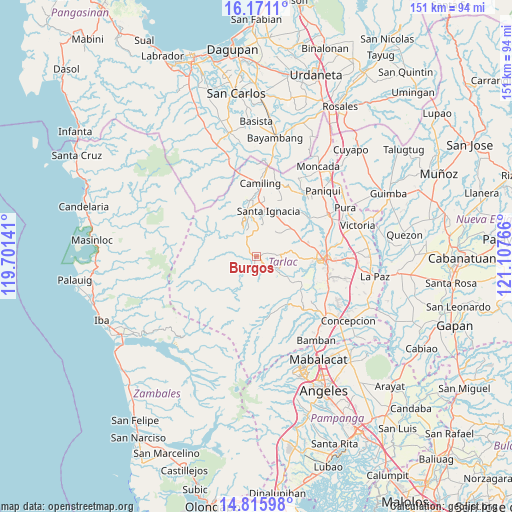
Burgos GPS coordinates[2]
15° 29' 40.74" North, 120° 24' 16.308" East
| Map corner | latitude | longitude |
|---|---|---|
| Upper-left | 16.1711°, | 119.70141° |
| Center: | 15.49465°, | 120.40453° |
| Lower-right: | 14.81598°, | 121.10766° |
| Map W x H: | 150.7×150.7 km | = 93.6×93.6mi |
| max Lat: | 20.78733° ⇑18.3% North |
| Burgos: | 15.49465° |
| min Lat: | ⇓81.7% South 4.65442° |
| min Long | Burgos | max Long |
| 117.04868° | 120.40453° | 126.58417° |
| W 6.4%⇐ | ⇒93.6% E |
Elevation
Elevation of Burgos is 194 m = 636 ft, and this is 106.1 m = 348 ft above average elevation for this country.
| Max E: |
2262 m = 7421 ft | 11.5% |
| Burgos | 194 m 636 ft | |
| Avg. | 87.9 m = 288 ft | |
Min E: |
-2 m = -7 ft | 88.5% |
See also: Philippines elevation on elevation.city.
Geographical zone
Burgos is located in North Torrid zone (between Equator and Tropic of Cancer). Distance of this Northern Tropic circle is 883.1 km =548.7 mi to North.| Distance of | km | miles | from Burgos |
|---|---|---|---|
| North Pole | 8284.2 | 5147.6 | to North |
| Arctic Circle | 5678.3 | 3528.3 | to North |
| Tropic Cancer | 883.1 | 548.7 | to North |
| Equator | 1722.8 | 1070.5 | to South |


Nearby cities:
15 places around Burgos: (largest is in red/bold)
• Calayaan
14.3 km =8.9 mi,  55°
55°
• Iba
4.6 km =2.9 mi,  171°
171°
• Mababanaba
6 km =3.7 mi,  87°
87°
• Mamonit
10.3 km =6.4 mi,  355°
355°
• Mayantoc
14.2 km =8.8 mi,  348°
348°
• Moriones
7.5 km =4.7 mi,  119°
119°
• Nambalan
13.1 km =8.1 mi,  27°
27°
• Padapada
13.6 km =8.5 mi, 62°
• San Francisco
15.3 km =9.5 mi,  12°
12°
• San Juan de Mata
14.2 km =8.8 mi,  71°
71°
• Santa Ignacia
14 km =8.7 mi, 13°
• Santa Ines West
9.4 km =5.8 mi,  42°
42°
• Sula
4.3 km =2.7 mi,  193°
193°
• Vargas
14.1 km =8.8 mi, 38°
• Villa Aglipay
6.1 km =3.8 mi, 121°
Sources, notices
• [Note1] Compared only with cities in Philippines existing in our database
• [Src1] Map data: © OpenStreetMap contributors (CC-BY-SA)
• [Src2] Other city data from geonames.org with taken over terms of usage.
• [Src3] Geographical zone / Annual Mean Temperature by Robert A. Rohde @ Wikipedia
