Pangantocan geodata
Pangantocan (Northern Mindanao) is a seat of a third-order administrative division; located in Philippines in Asia/Manila (GMT+8) time zone. In our database, there are 4166 cities with bigger population. Compared to other cities in Philippines, 83.9% of cities are located further ↑North; 84.8% of cities are located further ←West and 98.6% of cities have lower elevation than Pangantocan. Note1
Administrative division(s):
- Level 1: Northern Mindanao
- Level 2: Province of Bukidnon
- Level 3: Pangantucan


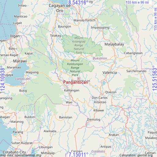
Pangantocan GPS coordinates[2]
7° 50' 49.992" North, 124° 48' 45" East
| Map corner | latitude | longitude |
|---|---|---|
| Upper-left | 8.54316°, | 124.10938° |
| Center: | 7.84722°, | 124.8125° |
| Lower-right: | 7.15011°, | 125.51563° |
| Map W x H: | 154.9×154.9 km | = 96.3×96.3mi |
| max Lat: | 20.78733° ⇑83.9% North |
| Pangantocan: | 7.84722° |
| min Lat: | ⇓16.1% South 4.65442° |
| min Long | Pangantocan | max Long |
| 117.04868° | 124.8125° | 126.58417° |
| W 84.8%⇐ | ⇒15.2% E |
Elevation
Elevation of Pangantocan is 853 m = 2799 ft, and this is 765.1 m = 2510 ft above average elevation for this country.
| Max E: |
2262 m = 7421 ft | 1.4% |
| Pangantocan | 853 m 2799 ft | |
| Avg. | 87.9 m = 288 ft | |
Min E: |
-2 m = -7 ft | 98.6% |
See also: Philippines elevation on elevation.city.
Geographical zone
Pangantocan is located in North Torrid zone (between Equator and Tropic of Cancer). Distance of Equator is 872.5 km =542.1 mi to South.| Distance of | km | miles | from Pangantocan |
|---|---|---|---|
| North Pole | 9134.5 | 5675.9 | to North |
| Arctic Circle | 6528.6 | 4056.7 | to North |
| Tropic Cancer | 1733.4 | 1077.1 | to North |
| Equator | 872.5 | 542.1 | to South |


Nearby cities:
15 places around Pangantocan: (largest is in red/bold)
• Adtugan
6.1 km =3.8 mi,  130°
130°
• Alanib
27.7 km =17.2 mi,  43°
43°
• Bangahan
10.4 km =6.5 mi,  236°
236°
• Basak
22.3 km =13.9 mi,  14°
14°
• Bumbaran
18.7 km =11.6 mi,  253°
253°
• Dologon
25.6 km =15.9 mi,  91°
91°
• Kalilangan
13.4 km =8.3 mi,  212°
212°
• Kibangay
24.2 km =15 mi,  21°
21°
• Kimanuit
13.6 km =8.5 mi,  224°
224°
• La Roxas
8.4 km =5.2 mi,  77°
77°
• Lurugan
25.4 km =15.8 mi, 42°
• Maramag
23.2 km =14.4 mi,  113°
113°
• Osias
27.5 km =17.1 mi,  179°
179°
• San Miguel
21.3 km =13.2 mi,  342°
342°
• Wao
24.3 km =15.1 mi, 221°
Sources, notices
• [Note1] Compared only with cities in Philippines existing in our database
• [Src1] Map data: © OpenStreetMap contributors (CC-BY-SA)
• [Src2] Other city data from geonames.org with taken over terms of usage.
• [Src3] Geographical zone / Annual Mean Temperature by Robert A. Rohde @ Wikipedia
