Palangue geodata
Palangue (Calabarzon) is a populated place; located in Philippines in Asia/Manila (GMT+8) time zone. With population of 9,567 people, there are 646 cities with bigger population in this country. Compared to other cities in Philippines, 72.8% of cities are located further ↓South; 82% of cities are located further →East and 73.1% of cities have lower elevation than Palangue. Note1


Palangue GPS coordinates[2]
14° 17' 3.012" North, 120° 48' 41.004" East
| Map corner | latitude | longitude |
|---|---|---|
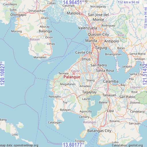
| Upper-left | 14.96451°, | 120.10827° |
| Center: | 14.28417°, | 120.81139° |
| Lower-right: | 13.60177°, | 121.51452° |
| Map W x H: | 151.5×151.5 km | = 94.1×94.1mi |
| max Lat: | 20.78733° ⇑27.2% North |
| Palangue: | 14.28417° |
| min Lat: | ⇓72.8% South 4.65442° |
| min Long | Palangue | max Long |
| 117.04868° | 120.81139° | 126.58417° |
| W 18%⇐ | ⇒82% E |
Elevation
Elevation of Palangue is 61 m = 200 ft, and this is 26.9 m = 88 ft below average elevation for this country.
| Max E: |
2262 m = 7421 ft | 26.9% |
| Avg. | 87.9 m = 288 ft | |
| Palangue | 61 m = 200 ft | |
Min E: |
-2 m = -7 ft | 73.1% |
See also: Philippines elevation on elevation.city.
Geographical zone
Palangue is located in North Torrid zone (between Equator and Tropic of Cancer). Distance of this Northern Tropic circle is 1017.7 km =632.4 mi to North.| Distance of | km | miles | from Palangue |
|---|---|---|---|
| North Pole | 8418.8 | 5231.2 | to North |
| Arctic Circle | 5812.9 | 3612 | to North |
| Tropic Cancer | 1017.7 | 632.4 | to North |
| Equator | 1588.3 | 986.9 | to South |


Nearby cities:
15 places around Palangue: (largest is in red/bold)
• Aliang
7.8 km =4.8 mi,  90°
90°
• Banaba
8.6 km =5.3 mi,  150°
150°
• Batas
9.4 km =5.8 mi,  176°
176°
• Bitangan
8 km =5 mi,  115°
115°
• Halayhay
10 km =6.2 mi,  1°
1°
• Malainen Luma
2.9 km =1.8 mi,  238°
238°
• Manggahan
9.7 km =6 mi,  84°
84°
• Maragondon
8 km =5 mi,  261°
261°
• Naic
6.2 km =3.9 mi,  307°
307°
• Pantijan No 2
5.8 km =3.6 mi,  191°
191°
• Paradahan
6.7 km =4.2 mi,  52°
52°
• Pasong Kawayan Primero
10 km =6.2 mi, 49°
• Sabang
2.5 km =1.6 mi,  340°
340°
• Ternate
10.2 km =6.3 mi,  273°
273°
• Tulay
4.8 km =3 mi,  250°
250°
Sources, notices
• [Note1] Compared only with cities in Philippines existing in our database
• [Src1] Map data: © OpenStreetMap contributors (CC-BY-SA)
• [Src2] Other city data from geonames.org with taken over terms of usage.
• [Src3] Geographical zone / Annual Mean Temperature by Robert A. Rohde @ Wikipedia
