Loacan geodata
Loacan (Cordillera) is a populated place; located in Philippines in Asia/Manila (GMT+8) time zone. With population of 6,371 people, there are 982 cities with bigger population in this country. Compared to other cities in Philippines, 91.2% of cities are located further ↓South; 85.9% of cities are located further →East and 99.1% of cities have lower elevation than Loacan. Note1


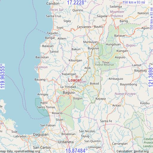
Loacan GPS coordinates[2]
16° 33' 0" North, 120° 40' 0.012" East
| Map corner | latitude | longitude |
|---|---|---|
| Upper-left | 17.2228°, | 119.96355° |
| Center: | 16.55°, | 120.66667° |
| Lower-right: | 15.87484°, | 121.3698° |
| Map W x H: | 149.9×149.9 km | = 93.1×93.1mi |
| max Lat: | 20.78733° ⇑8.8% North |
| Loacan: | 16.55° |
| min Lat: | ⇓91.2% South 4.65442° |
| min Long | Loacan | max Long |
| 117.04868° | 120.66667° | 126.58417° |
| W 14.1%⇐ | ⇒85.9% E |
Elevation
Elevation of Loacan is 1045 m = 3428 ft, and this is 957.1 m = 3140 ft above average elevation for this country.
| Max E: |
2262 m = 7421 ft | 0.90000000000001% |
| Loacan | 1045 m 3428 ft | |
| Avg. | 87.9 m = 288 ft | |
Min E: |
-2 m = -7 ft | 99.1% |
See also: Philippines elevation on elevation.city.
Geographical zone
Loacan is located in North Torrid zone (between Equator and Tropic of Cancer). Distance of this Northern Tropic circle is 765.7 km =475.8 mi to North.| Distance of | km | miles | from Loacan |
|---|---|---|---|
| North Pole | 8166.9 | 5074.7 | to North |
| Arctic Circle | 5561 | 3455.4 | to North |
| Tropic Cancer | 765.7 | 475.8 | to North |
| Equator | 1840.2 | 1143.4 | to South |


Nearby cities:
15 places around Loacan: (largest is in red/bold)
• Ambuclao
11.6 km =7.2 mi,  129°
129°
• Atok
5.1 km =3.2 mi,  43°
43°
• Baguio
16.8 km =10.4 mi,  207°
207°
• Bayabas
19.5 km =12.1 mi,  235°
235°
• Bokod
18.8 km =11.7 mi,  110°
110°
• Kabayan
20.2 km =12.6 mi,  66°
66°
• Kapangan
7.9 km =4.9 mi,  290°
290°
• Kibungan
16.2 km =10.1 mi,  355°
355°
• La Trinidad
13.5 km =8.4 mi,  218°
218°
• Natubleng
20.3 km =12.6 mi, 36°
• Sablan
19.3 km =12 mi,  250°
250°
• Tacadang
19.8 km =12.3 mi,  351°
351°
• Topdac
4.8 km =3 mi,  82°
82°
• Tublay
6.1 km =3.8 mi,  262°
262°
• Tuding
15.7 km =9.8 mi,  189°
189°
Sources, notices
• [Note1] Compared only with cities in Philippines existing in our database
• [Src1] Map data: © OpenStreetMap contributors (CC-BY-SA)
• [Src2] Other city data from geonames.org with taken over terms of usage.
• [Src3] Geographical zone / Annual Mean Temperature by Robert A. Rohde @ Wikipedia
