Buluang geodata
Buluang (Mimaropa) is a populated place; located in Philippines in Asia/Manila (GMT+8) time zone. With population of 2,567 people, there are 3173 cities with bigger population in this country. Compared to other cities in Philippines, 53% of cities are located further ↓South; 98.1% of cities are located further →East and 56.1% of cities have higher elevation than Buluang. Note1


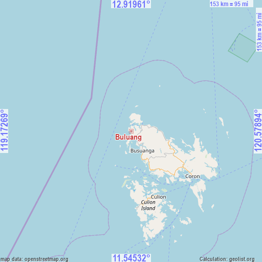
Buluang GPS coordinates[2]
12° 14' 0.096" North, 119° 52' 32.916" East
| Map corner | latitude | longitude |
|---|---|---|
| Upper-left | 12.91961°, | 119.17269° |
| Center: | 12.23336°, | 119.87581° |
| Lower-right: | 11.54532°, | 120.57894° |
| Map W x H: | 152.8×152.8 km | = 94.9×94.9mi |
| max Lat: | 20.78733° ⇑47% North |
| Buluang: | 12.23336° |
| min Lat: | ⇓53% South 4.65442° |
| min Long | Buluang | max Long |
| 117.04868° | 119.87581° | 126.58417° |
| W 1.9%⇐ | ⇒98.1% E |
Elevation
Elevation of Buluang is 19 m = 62 ft, and this is 68.9 m = 226 ft below average elevation for this country.
| Max E: |
2262 m = 7421 ft | 56.1% |
| Avg. | 87.9 m = 288 ft | |
| Buluang | 19 m = 62 ft | |
Min E: |
-2 m = -7 ft | 43.9% |
See also: Philippines elevation on elevation.city.
Geographical zone
Buluang is located in North Torrid zone (between Equator and Tropic of Cancer). Distance of this Northern Tropic circle is 1245.7 km =774 mi to North.| Distance of | km | miles | from Buluang |
|---|---|---|---|
| North Pole | 8646.8 | 5372.9 | to North |
| Arctic Circle | 6041 | 3753.7 | to North |
| Tropic Cancer | 1245.7 | 774 | to North |
| Equator | 1360.2 | 845.2 | to South |


Nearby cities:
15 places around Buluang: (largest is in red/bold)
• Adela
121.4 km =75.4 mi,  79°
79°
• Banos
121.3 km =75.4 mi,  67°
67°
• Batasan
115 km =71.5 mi,  58°
58°
• Bulalacao
63.3 km =39.3 mi,  149°
149°
• Busuanga
9.5 km =5.9 mi, 151°
• Calintaan
120.7 km =75 mi, 72°
• Coron
44.2 km =27.5 mi,  126°
126°
• Ligaya
120.1 km =74.6 mi, 66°
• Panlaitan
13 km =8.1 mi,  193°
193°
• Rizal
121.3 km =75.4 mi, 77°
• Sablayan
117.8 km =73.2 mi, 55°
• Salvacion
12.8 km =8 mi, 150°
• San Miguel
82.4 km =51.2 mi,  180°
180°
• Tiniguiban
105.4 km =65.5 mi,  202°
202°
• Tuban
122.2 km =75.9 mi, 58°
Sources, notices
• [Note1] Compared only with cities in Philippines existing in our database
• [Src1] Map data: © OpenStreetMap contributors (CC-BY-SA)
• [Src2] Other city data from geonames.org with taken over terms of usage.
• [Src3] Geographical zone / Annual Mean Temperature by Robert A. Rohde @ Wikipedia
