Barishal geodata
Barishal (Gilgit-Baltistan) is a populated place; located in Pakistan in Asia/Karachi (GMT+5) time zone. With population of 2,005 people, there are 398 cities with bigger population in this country. Compared to other cities in Pakistan, 100% of cities are located further ↓South; 98.4% of cities are located further ←West and 100% of cities have lower elevation than Barishal. Note1


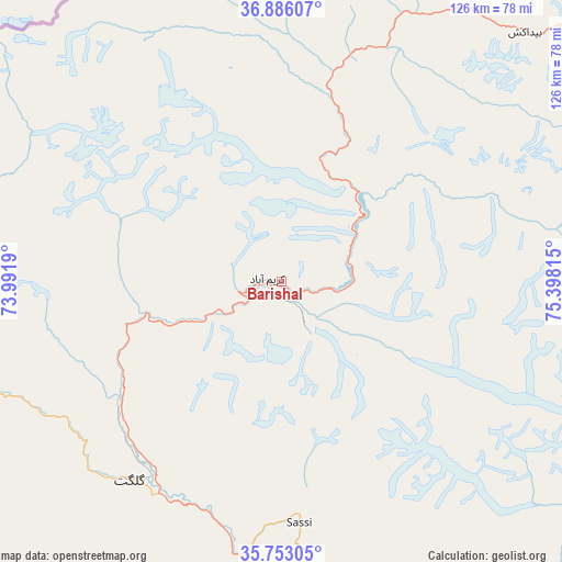
Barishal GPS coordinates[2]
36° 19' 17.832" North, 74° 41' 42.072" East
| Map corner | latitude | longitude |
|---|---|---|
| Upper-left | 36.88607°, | 73.9919° |
| Center: | 36.32162°, | 74.69502° |
| Lower-right: | 35.75305°, | 75.39815° |
| Map W x H: | 126×126 km | = 78.3×78.3mi |
| max Lat: | 36.32162° ⇑0% North |
| Barishal: | 36.32162° |
| min Lat: | ⇓100% South 24.14422° |
| min Long | Barishal | max Long |
| 61.74573° | 74.69502° | 75.63372° |
| W 98.4%⇐ | ⇒1.6% E |
Elevation
Elevation of Barishal is 2732 m = 8963 ft, and this is 2387 m = 7831 ft above average elevation for this country.
| Max E: |
2732 m = 8963 ft | 0% |
| Barishal | 2732 m 8963 ft | |
| Avg. | 345 m = 1132 ft | |
Min E: |
3 m = 10 ft | 100% |
See also: Pakistan elevation on elevation.city.
Geographical zone
Barishal is located in North temperate zone (between Tropic of Cancer and the Arctic Circle). Distance of this Northern Tropic circle is 1432.7 km =890.2 mi to South.| Distance of | km | miles | from Barishal |
|---|---|---|---|
| North Pole | 5968.5 | 3708.7 | to North |
| Arctic Circle | 3362.6 | 2089.4 | to North |
| Tropic Cancer | 1432.7 | 890.2 | to South |
| Equator | 4038.6 | 2509.5 | to South |


Nearby cities:
15 places around Barishal: (largest is in red/bold)
• Aliabad
7.3 km =4.5 mi,  257°
257°
• Alpurai
242.9 km =150.9 mi,  230°
230°
• Athmuqam
207.6 km =129 mi,  200°
200°
• Baffa
248.3 km =154.3 mi,  212°
212°
• Battagram
237.3 km =147.5 mi,  219°
219°
• Chilas
114.2 km =71 mi, 207°
• Dasu
170.7 km =106.1 mi, 227°
• Eidgah
109.3 km =67.9 mi,  172°
172°
• Gakuch
85 km =52.8 mi, 259°
• Gilgit
56.5 km =35.1 mi, 217°
• Hattian Bala
254.5 km =158.1 mi, 199°
• Muzaffarābād
243.7 km =151.4 mi, 207°
• Shingli Bala
239.4 km =148.8 mi, 220°
• Skardu
141.8 km =88.1 mi,  143°
143°
• Thal
239.8 km =149 mi,  246°
246°
Sources, notices
• [Note1] Compared only with cities in Pakistan existing in our database
• [Src1] Map data: © OpenStreetMap contributors (CC-BY-SA)
• [Src2] Other city data from geonames.org with taken over terms of usage.
• [Src3] Geographical zone / Annual Mean Temperature by Robert A. Rohde @ Wikipedia
