Kalat geodata
Kalat (Balochistan) is a seat of a second-order administrative division; located in Pakistan in Asia/Karachi (GMT+5) time zone. With population of 26,701 people, there are 230 cities with bigger population in this country. Compared to other cities in Pakistan, 66.8% of cities are located further ↑North; 97.1% of cities are located further →East and 98% of cities have lower elevation than Kalat. Note1


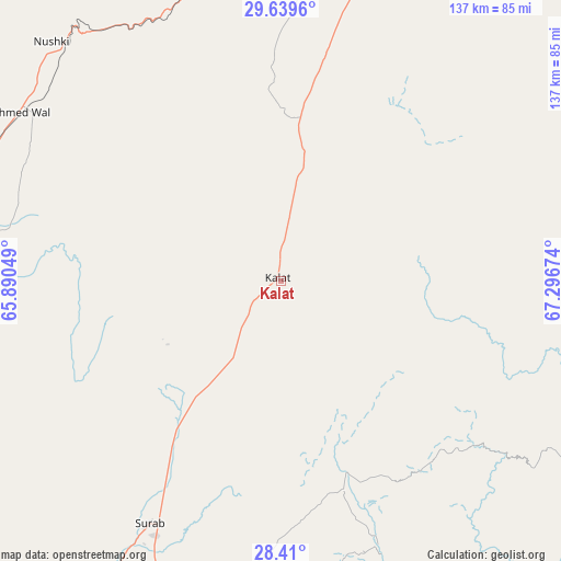
Kalat GPS coordinates[2]
29° 1' 35.868" North, 66° 35' 36.996" East
| Map corner | latitude | longitude |
|---|---|---|
| Upper-left | 29.6396°, | 65.89049° |
| Center: | 29.02663°, | 66.59361° |
| Lower-right: | 28.41°, | 67.29674° |
| Map W x H: | 136.7×136.7 km | = 84.9×84.9mi |
| max Lat: | 36.32162° ⇑66.8% North |
| Kalat: | 29.02663° |
| min Lat: | ⇓33.2% South 24.14422° |
| min Long | Kalat | max Long |
| 61.74573° | 66.59361° | 75.63372° |
| W 2.9%⇐ | ⇒97.1% E |
Elevation
Elevation of Kalat is 2014 m = 6608 ft, and this is 1669 m = 5476 ft above average elevation for this country.
| Max E: |
2732 m = 8963 ft | 2% |
| Kalat | 2014 m 6608 ft | |
| Avg. | 345 m = 1132 ft | |
Min E: |
3 m = 10 ft | 98% |
See also: Pakistan elevation on elevation.city.
Geographical zone
Kalat is located in North temperate zone (between Tropic of Cancer and the Arctic Circle). Distance of this Northern Tropic circle is 621.5 km =386.2 mi to South.| Distance of | km | miles | from Kalat |
|---|---|---|---|
| North Pole | 6779.6 | 4212.6 | to North |
| Arctic Circle | 4173.7 | 2593.4 | to North |
| Tropic Cancer | 621.5 | 386.2 | to South |
| Equator | 3227.5 | 2005.5 | to South |


Nearby cities:
15 places around Kalat: (largest is in red/bold)
• Bhag
119.6 km =74.3 mi,  89°
89°
• Chowki Jamali
171.3 km =106.4 mi,  130°
130°
• Dadhar
114.1 km =70.9 mi,  64°
64°
• Dera Murad Jamali
167.5 km =104.1 mi,  108°
108°
• Gandava
98.3 km =61.1 mi,  117°
117°
• Kharan
124.9 km =77.6 mi,  246°
246°
• Khuzdar
135.1 km =83.9 mi,  179°
179°
• Kot Malik Barkhurdar
136.3 km =84.7 mi,  16°
16°
• Mach
117.3 km =72.9 mi,  37°
37°
• Mastung
89.3 km =55.5 mi, 15°
• Nushki
80.5 km =50 mi,  316°
316°
• Quetta
134.6 km =83.6 mi, 17°
• Sibi
137.1 km =85.2 mi,  65°
65°
• Surab
67.7 km =42.1 mi,  208°
208°
• Usta Muhammad
170.2 km =105.8 mi, 123°
Sources, notices
• [Note1] Compared only with cities in Pakistan existing in our database
• [Src1] Map data: © OpenStreetMap contributors (CC-BY-SA)
• [Src2] Other city data from geonames.org with taken over terms of usage.
• [Src3] Geographical zone / Annual Mean Temperature by Robert A. Rohde @ Wikipedia
