Surab geodata
Surab (Balochistan) is a populated place; located in Pakistan in Asia/Karachi (GMT+5) time zone. With population of 13,104 people, there are 331 cities with bigger population in this country. Compared to other cities in Pakistan, 69.1% of cities are located further ↑North; 97.7% of cities are located further →East and 97.3% of cities have lower elevation than Surab. Note1


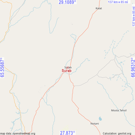
Surab GPS coordinates[2]
28° 29' 33.936" North, 66° 15' 35.964" East
| Map corner | latitude | longitude |
|---|---|---|
| Upper-left | 29.1089°, | 65.55687° |
| Center: | 28.49276°, | 66.25999° |
| Lower-right: | 27.873°, | 66.96312° |
| Map W x H: | 137.4×137.4 km | = 85.4×85.4mi |
| max Lat: | 36.32162° ⇑69.1% North |
| Surab: | 28.49276° |
| min Lat: | ⇓30.9% South 24.14422° |
| min Long | Surab | max Long |
| 61.74573° | 66.25999° | 75.63372° |
| W 2.3%⇐ | ⇒97.7% E |
Elevation
Elevation of Surab is 1762 m = 5781 ft, and this is 1417 m = 4649 ft above average elevation for this country.
| Max E: |
2732 m = 8963 ft | 2.7% |
| Surab | 1762 m 5781 ft | |
| Avg. | 345 m = 1132 ft | |
Min E: |
3 m = 10 ft | 97.3% |
See also: Pakistan elevation on elevation.city.
Geographical zone
Surab is located in North temperate zone (between Tropic of Cancer and the Arctic Circle). Distance of this Northern Tropic circle is 562.2 km =349.3 mi to South.| Distance of | km | miles | from Surab |
|---|---|---|---|
| North Pole | 6839 | 4249.6 | to North |
| Arctic Circle | 4233.1 | 2630.3 | to North |
| Tropic Cancer | 562.2 | 349.3 | to South |
| Equator | 3168.1 | 1968.6 | to South |


Nearby cities:
15 places around Surab: (largest is in red/bold)
• Bhag
164.2 km =102 mi,  68°
68°
• Chowki Jamali
171 km =106.3 mi,  107°
107°
• Dadhar
173.9 km =108.1 mi,  51°
51°
• Dalbandin
186.1 km =115.6 mi,  283°
283°
• Gandava
120.5 km =74.9 mi,  83°
83°
• Garhi Khairo
175.2 km =108.9 mi, 105°
• Kalat
67.7 km =42.1 mi,  28°
28°
• Kharan
83.2 km =51.7 mi, 277°
• Khuzdar
83.2 km =51.7 mi,  155°
155°
• Mach
184.5 km =114.6 mi, 34°
• Mastung
156 km =96.9 mi,  21°
21°
• Mehrabpur
178.1 km =110.7 mi,  103°
103°
• Nushki
120 km =74.6 mi,  348°
348°
• Shahdad Kot
176.7 km =109.8 mi, 113°
• Usta Muhammad
178.1 km =110.7 mi, 101°
Sources, notices
• [Note1] Compared only with cities in Pakistan existing in our database
• [Src1] Map data: © OpenStreetMap contributors (CC-BY-SA)
• [Src2] Other city data from geonames.org with taken over terms of usage.
• [Src3] Geographical zone / Annual Mean Temperature by Robert A. Rohde @ Wikipedia
