Sibi geodata
Sibi (Balochistan) is a seat of a second-order administrative division; located in Pakistan in Asia/Karachi (GMT+5) time zone. With population of 64,069 people, there are 113 cities with bigger population in this country. Compared to other cities in Pakistan, 63.7% of cities are located further ↑North; 90.1% of cities are located further →East and 63.2% of cities have higher elevation than Sibi. Note1


Sibi GPS coordinates[2]
29° 32' 34.764" North, 67° 52' 38.136" East
| Map corner | latitude | longitude |
|---|---|---|
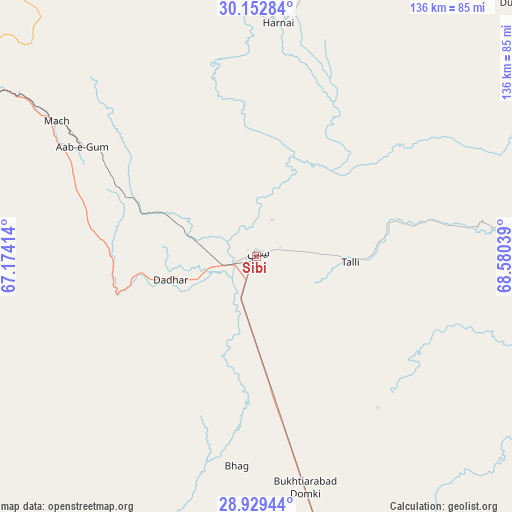
| Upper-left | 30.15284°, | 67.17414° |
| Center: | 29.54299°, | 67.87726° |
| Lower-right: | 28.92944°, | 68.58039° |
| Map W x H: | 136×136 km | = 84.5×84.5mi |
| max Lat: | 36.32162° ⇑63.7% North |
| Sibi: | 29.54299° |
| min Lat: | ⇓36.3% South 24.14422° |
| min Long | Sibi | max Long |
| 61.74573° | 67.87726° | 75.63372° |
| W 9.9%⇐ | ⇒90.1% E |
Elevation
Elevation of Sibi is 136 m = 446 ft, and this is 209 m = 686 ft below average elevation for this country.
| Max E: |
2732 m = 8963 ft | 63.2% |
| Avg. | 345 m = 1132 ft | |
| Sibi | 136 m = 446 ft | |
Min E: |
3 m = 10 ft | 36.8% |
See also: Sibi elevation on elevation.city.
Geographical zone
Sibi is located in North temperate zone (between Tropic of Cancer and the Arctic Circle). Distance of this Northern Tropic circle is 679 km =421.9 mi to South.| Distance of | km | miles | from Sibi |
|---|---|---|---|
| North Pole | 6722.2 | 4177 | to North |
| Arctic Circle | 4116.3 | 2557.7 | to North |
| Tropic Cancer | 679 | 421.9 | to South |
| Equator | 3284.9 | 2041.1 | to South |


Nearby cities:
15 places around Sibi: (largest is in red/bold)
• Alik Ghund
110.7 km =68.8 mi,  341°
341°
• Bhag
56 km =34.8 mi,  185°
185°
• Dadhar
23.1 km =14.4 mi,  250°
250°
• Dera Murad Jamali
115.8 km =72 mi,  163°
163°
• Duki
95.4 km =59.3 mi,  44°
44°
• Gandava
110.2 km =68.5 mi,  200°
200°
• Harnai
62.3 km =38.7 mi,  5°
5°
• Khadan Khak
135.4 km =84.1 mi,  353°
353°
• Kot Malik Barkhurdar
113 km =70.2 mi,  310°
310°
• Loralai
115.3 km =71.6 mi, 37°
• Mach
63.7 km =39.6 mi,  304°
304°
• Mastung
103.7 km =64.4 mi,  285°
285°
• Quetta
110.5 km =68.7 mi, 310°
• Sohbatpur
130.8 km =81.3 mi,  150°
150°
• Ziarat
94.5 km =58.7 mi, 351°
Sources, notices
• [Note1] Compared only with cities in Pakistan existing in our database
• [Src1] Map data: © OpenStreetMap contributors (CC-BY-SA)
• [Src2] Other city data from geonames.org with taken over terms of usage.
• [Src3] Geographical zone / Annual Mean Temperature by Robert A. Rohde @ Wikipedia
