Zakrzew geodata
Zakrzew (Greater Poland) is a populated place; located in Poland in Europe/Warsaw (GMT+2) time zone. With population of 911 people, there are 2656 cities with bigger population in this country. Compared to other cities in Poland, 64.3% of cities are located further ↓South; 79.5% of cities are located further →East and 64.7% of cities have higher elevation than Zakrzew. Note1


Zakrzew GPS coordinates[2]
51° 55' 27.336" North, 17° 32' 11.688" East
| Map corner | latitude | longitude |
|---|---|---|
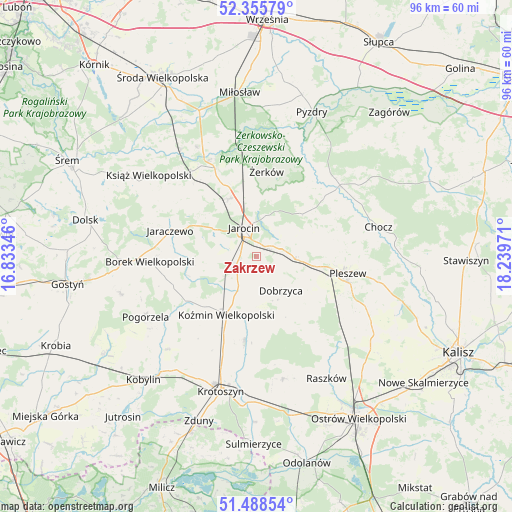
| Upper-left | 52.35579°, | 16.83346° |
| Center: | 51.92426°, | 17.53658° |
| Lower-right: | 51.48854°, | 18.23971° |
| Map W x H: | 96.4×96.4 km | = 59.9×59.9mi |
| max Lat: | 54.83135° ⇑35.7% North |
| Zakrzew: | 51.92426° |
| min Lat: | ⇓64.3% South 49.21328° |
| min Long | Zakrzew | max Long |
| 14.20249° | 17.53658° | 24.03723° |
| W 20.5%⇐ | ⇒79.5% E |
Elevation
Elevation of Zakrzew is 134 m = 440 ft, and this is 57.4 m = 188 ft below average elevation for this country.
| Max E: |
974 m = 3196 ft | 64.7% |
| Avg. | 191.4 m = 628 ft | |
| Zakrzew | 134 m = 440 ft | |
Min E: |
-3 m = -10 ft | 35.3% |
See also: Poland elevation on elevation.city.
Geographical zone
Zakrzew is located in North temperate zone (between Tropic of Cancer and the Arctic Circle). Distance of this North polar circle is 1627.7 km =1011.4 mi to North.| Distance of | km | miles | from Zakrzew |
|---|---|---|---|
| North Pole | 4233.6 | 2630.6 | to North |
| Arctic Circle | 1627.7 | 1011.4 | to North |
| Tropic Cancer | 3167.5 | 1968.2 | to South |
| Equator | 5773.4 | 3587.4 | to South |


Nearby cities:
15 places around Zakrzew: (largest is in red/bold)
• Borek Wielkopolski
20.3 km =12.6 mi,  267°
267°
• Broniszewice
19.8 km =12.3 mi,  76°
76°
• Czermin
14.9 km =9.3 mi, 78°
• Dobieszczyzna
14.8 km =9.2 mi,  39°
39°
• Dobrzyca
7.9 km =4.9 mi,  144°
144°
• Golina
3.8 km =2.4 mi,  254°
254°
• Jaraczewo
17.1 km =10.6 mi,  286°
286°
• Jarocin
5.9 km =3.7 mi,  336°
336°
• Kotlin
7.7 km =4.8 mi,  94°
94°
• Koźmin Wielkopolski
12.2 km =7.6 mi,  207°
207°
• Pleszew
17.4 km =10.8 mi,  100°
100°
• Rozdrażew
15.9 km =9.9 mi,  187°
187°
• Sośnica
12.1 km =7.5 mi,  125°
125°
• Witaszyce
2.6 km =1.6 mi, 42°
• Żerków
16.2 km =10.1 mi,  6°
6°
Sources, notices
• [Note1] Compared only with cities in Poland existing in our database
• [Src1] Map data: © OpenStreetMap contributors (CC-BY-SA)
• [Src2] Other city data from geonames.org with taken over terms of usage.
• [Src3] Geographical zone / Annual Mean Temperature by Robert A. Rohde @ Wikipedia
