Tuchomie geodata
Tuchomie (Pomerania) is a seat of a third-order administrative division; located in Poland in Europe/Warsaw (GMT+2) time zone. With population of 1,365 people, there are 2011 cities with bigger population in this country. Compared to other cities in Poland, 95.4% of cities are located further ↓South; 81.1% of cities are located further →East and 59.5% of cities have higher elevation than Tuchomie. Note1


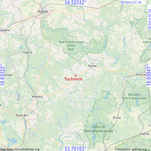
Tuchomie GPS coordinates[2]
54° 6' 54.792" North, 17° 20' 10.824" East
| Map corner | latitude | longitude |
|---|---|---|
| Upper-left | 54.52532°, | 16.63322° |
| Center: | 54.11522°, | 17.33634° |
| Lower-right: | 53.70103°, | 18.03947° |
| Map W x H: | 91.7×91.7 km | = 57×57mi |
| max Lat: | 54.83135° ⇑4.6% North |
| Tuchomie: | 54.11522° |
| min Lat: | ⇓95.4% South 49.21328° |
| min Long | Tuchomie | max Long |
| 14.20249° | 17.33634° | 24.03723° |
| W 18.9%⇐ | ⇒81.1% E |
Elevation
Elevation of Tuchomie is 148 m = 486 ft, and this is 43.4 m = 142 ft below average elevation for this country.
| Max E: |
974 m = 3196 ft | 59.5% |
| Avg. | 191.4 m = 628 ft | |
| Tuchomie | 148 m = 486 ft | |
Min E: |
-3 m = -10 ft | 40.5% |
See also: Poland elevation on elevation.city.
Geographical zone
Tuchomie is located in North temperate zone (between Tropic of Cancer and the Arctic Circle). Distance of this North polar circle is 1384.1 km =860 mi to North.| Distance of | km | miles | from Tuchomie |
|---|---|---|---|
| North Pole | 3990 | 2479.3 | to North |
| Arctic Circle | 1384.1 | 860 | to North |
| Tropic Cancer | 3411.1 | 2119.6 | to South |
| Equator | 6017 | 3738.8 | to South |


Nearby cities:
15 places around Tuchomie: (largest is in red/bold)
• Barcino
30.3 km =18.8 mi,  306°
306°
• Borzytuchom
9.7 km =6 mi,  12°
12°
• Bytów
11.9 km =7.4 mi,  58°
58°
• Czarna Dąbrówka
30.6 km =19 mi,  28°
28°
• Dziemiany
30.6 km =19 mi,  113°
113°
• Kalisz Pomorski
31.1 km =19.3 mi,  104°
104°
• Koczała
29.4 km =18.3 mi,  217°
217°
• Kołczygłowy
15.4 km =9.6 mi,  333°
333°
• Lipnica
14 km =8.7 mi,  160°
160°
• Lipusz
29.3 km =18.2 mi,  93°
93°
• Miastko
26.2 km =16.3 mi,  241°
241°
• Parchowo
23.9 km =14.9 mi, 64°
• Studzienice
15.8 km =9.8 mi, 99°
• Sulęczyno
31.3 km =19.4 mi,  65°
65°
• Trzebielino
18.8 km =11.7 mi,  300°
300°
Sources, notices
• [Note1] Compared only with cities in Poland existing in our database
• [Src1] Map data: © OpenStreetMap contributors (CC-BY-SA)
• [Src2] Other city data from geonames.org with taken over terms of usage.
• [Src3] Geographical zone / Annual Mean Temperature by Robert A. Rohde @ Wikipedia
