Lubiń geodata
Lubiń (Greater Poland) is a populated place; located in Poland in Europe/Warsaw (GMT+2) time zone. With population of 731 people, there are 3005 cities with bigger population in this country. Compared to other cities in Poland, 65% of cities are located further ↓South; 86% of cities are located further →East and 83.2% of cities have higher elevation than Lubiń. Note1


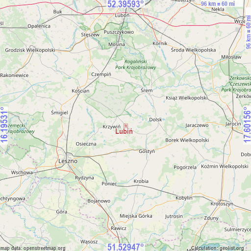
Lubiń GPS coordinates[2]
51° 57' 53.244" North, 16° 53' 54.348" East
| Map corner | latitude | longitude |
|---|---|---|
| Upper-left | 52.39593°, | 16.19531° |
| Center: | 51.96479°, | 16.89843° |
| Lower-right: | 51.52947°, | 17.60156° |
| Map W x H: | 96.3×96.3 km | = 59.8×59.8mi |
| max Lat: | 54.83135° ⇑35% North |
| Lubiń: | 51.96479° |
| min Lat: | ⇓65% South 49.21328° |
| min Long | Lubiń | max Long |
| 14.20249° | 16.89843° | 24.03723° |
| W 14%⇐ | ⇒86% E |
Elevation
Elevation of Lubiń is 93 m = 305 ft, and this is 98.4 m = 323 ft below average elevation for this country.
| Max E: |
974 m = 3196 ft | 83.2% |
| Avg. | 191.4 m = 628 ft | |
| Lubiń | 93 m = 305 ft | |
Min E: |
-3 m = -10 ft | 16.8% |
See also: Poland elevation on elevation.city.
Geographical zone
Lubiń is located in North temperate zone (between Tropic of Cancer and the Arctic Circle). Distance of this North polar circle is 1623.2 km =1008.6 mi to North.| Distance of | km | miles | from Lubiń |
|---|---|---|---|
| North Pole | 4229.1 | 2627.8 | to North |
| Arctic Circle | 1623.2 | 1008.6 | to North |
| Tropic Cancer | 3172 | 1971 | to South |
| Equator | 5777.9 | 3590.2 | to South |


Nearby cities:
15 places around Lubiń: (largest is in red/bold)
• Bojanowo Stare
21.8 km =13.5 mi,  278°
278°
• Brodnica
19.6 km =12.2 mi,  358°
358°
• Czempiń
21.9 km =13.6 mi,  335°
335°
• Dolsk
11.4 km =7.1 mi,  80°
80°
• Gostyń
12 km =7.5 mi,  139°
139°
• Kościan
21.9 km =13.6 mi,  308°
308°
• Krobia
22 km =13.7 mi,  164°
164°
• Krzemieniewo
12.6 km =7.8 mi,  200°
200°
• Krzywiń
5.4 km =3.4 mi,  267°
267°
• Nochowo
13.2 km =8.2 mi,  24°
24°
• Osieczna
16.5 km =10.3 mi,  245°
245°
• Piaski
14.9 km =9.3 mi,  126°
126°
• Poniec
23.2 km =14.4 mi, 195°
• Sułkowice
21.8 km =13.5 mi,  153°
153°
• Śrem
15.9 km =9.9 mi,  30°
30°
Sources, notices
• [Note1] Compared only with cities in Poland existing in our database
• [Src1] Map data: © OpenStreetMap contributors (CC-BY-SA)
• [Src2] Other city data from geonames.org with taken over terms of usage.
• [Src3] Geographical zone / Annual Mean Temperature by Robert A. Rohde @ Wikipedia
