Godziesze Wielkie geodata
Godziesze Wielkie (Greater Poland) is a populated place; located in Poland in Europe/Warsaw (GMT+2) time zone. With population of 720 people, there are 3027 cities with bigger population in this country. Compared to other cities in Poland, 59% of cities are located further ↓South; 73% of cities are located further →East and 56% of cities have higher elevation than Godziesze Wielkie. Note1
Administrative division(s):
- Level 1: Greater Poland
- Level 2: Powiat kaliski
- Level 3: Godziesze Wielkie


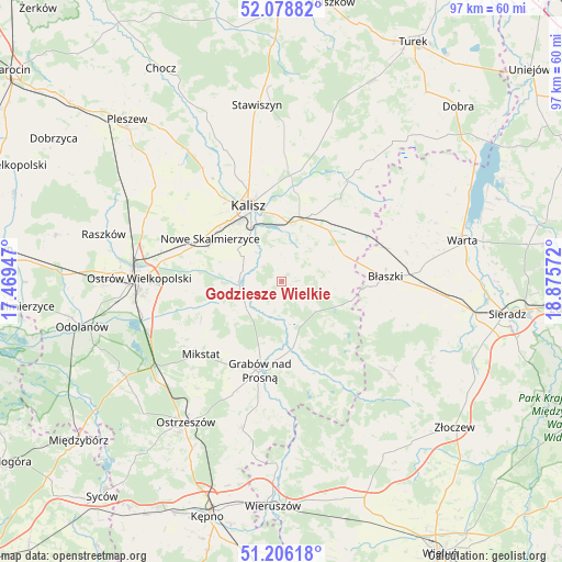
Godziesze Wielkie GPS coordinates[2]
51° 38' 40.56" North, 18° 10' 21.324" East
| Map corner | latitude | longitude |
|---|---|---|
| Upper-left | 52.07882°, | 17.46947° |
| Center: | 51.6446°, | 18.17259° |
| Lower-right: | 51.20618°, | 18.87572° |
| Map W x H: | 97×97 km | = 60.3×60.3mi |
| max Lat: | 54.83135° ⇑41% North |
| Godziesze Wielkie: | 51.6446° |
| min Lat: | ⇓59% South 49.21328° |
| min Long | Godziesze Wielk | max Long |
| 14.20249° | 18.17259° | 24.03723° |
| W 27%⇐ | ⇒73% E |
Elevation
Elevation of Godziesze Wielkie is 156 m = 512 ft, and this is 35.4 m = 116 ft below average elevation for this country.
| Max E: |
974 m = 3196 ft | 56% |
| Avg. | 191.4 m = 628 ft | |
| Godziesze Wielkie | 156 m = 512 ft | |
Min E: |
-3 m = -10 ft | 44% |
See also: Poland elevation on elevation.city.
Geographical zone
Godziesze Wielkie is located in North temperate zone (between Tropic of Cancer and the Arctic Circle). Distance of this North polar circle is 1658.8 km =1030.7 mi to North.| Distance of | km | miles | from Godziesze Wielkie |
|---|---|---|---|
| North Pole | 4264.7 | 2650 | to North |
| Arctic Circle | 1658.8 | 1030.7 | to North |
| Tropic Cancer | 3136.4 | 1948.9 | to South |
| Equator | 5742.3 | 3568.1 | to South |


Nearby cities:
15 places around Godziesze Wielkie: (largest is in red/bold)
• Borysławice
17.6 km =10.9 mi,  87°
87°
• Brzeziny
7.9 km =4.9 mi,  133°
133°
• Błaszki
18.1 km =11.2 mi, 87°
• Czajków
20.1 km =12.5 mi,  147°
147°
• Dębe
17.3 km =10.7 mi,  4°
4°
• Grabów nad Prosną
15.8 km =9.8 mi,  193°
193°
• Kalisz
14.1 km =8.8 mi,  336°
336°
• Kraszewice
14.4 km =8.9 mi,  166°
166°
• Mikstat
18.6 km =11.6 mi,  227°
227°
• Nowe Skalmierzyce
14.4 km =8.9 mi,  300°
300°
• Opatówek
11 km =6.8 mi,  15°
15°
• Psary
11.2 km =7 mi,  277°
277°
• Sieroszewice
13.9 km =8.6 mi,  264°
264°
• Skalmierzyce
15.7 km =9.8 mi,  293°
293°
• Szczytniki
12 km =7.5 mi,  65°
65°
Sources, notices
• [Note1] Compared only with cities in Poland existing in our database
• [Src1] Map data: © OpenStreetMap contributors (CC-BY-SA)
• [Src2] Other city data from geonames.org with taken over terms of usage.
• [Src3] Geographical zone / Annual Mean Temperature by Robert A. Rohde @ Wikipedia
