Szczytniki geodata
Szczytniki (Greater Poland) is a populated place; located in Poland in Europe/Warsaw (GMT+2) time zone. With population of 693 people, there are 3082 cities with bigger population in this country. Compared to other cities in Poland, 59.8% of cities are located further ↓South; 70.8% of cities are located further →East and 63.4% of cities have higher elevation than Szczytniki. Note1


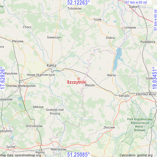
Szczytniki GPS coordinates[2]
51° 41' 19.824" North, 18° 19' 52.968" East
| Map corner | latitude | longitude |
|---|---|---|
| Upper-left | 52.12263°, | 17.62826° |
| Center: | 51.68884°, | 18.33138° |
| Lower-right: | 51.25085°, | 19.03451° |
| Map W x H: | 96.9×96.9 km | = 60.2×60.2mi |
| max Lat: | 54.83135° ⇑40.2% North |
| Szczytniki: | 51.68884° |
| min Lat: | ⇓59.8% South 49.21328° |
| min Long | Szczytniki | max Long |
| 14.20249° | 18.33138° | 24.03723° |
| W 29.2%⇐ | ⇒70.8% E |
Elevation
Elevation of Szczytniki is 138 m = 453 ft, and this is 53.4 m = 175 ft below average elevation for this country.
| Max E: |
974 m = 3196 ft | 63.4% |
| Avg. | 191.4 m = 628 ft | |
| Szczytniki | 138 m = 453 ft | |
Min E: |
-3 m = -10 ft | 36.6% |
See also: Poland elevation on elevation.city.
Geographical zone
Szczytniki is located in North temperate zone (between Tropic of Cancer and the Arctic Circle). Distance of this North polar circle is 1653.9 km =1027.7 mi to North.| Distance of | km | miles | from Szczytniki |
|---|---|---|---|
| North Pole | 4259.8 | 2646.9 | to North |
| Arctic Circle | 1653.9 | 1027.7 | to North |
| Tropic Cancer | 3141.3 | 1951.9 | to South |
| Equator | 5747.3 | 3571.2 | to South |


Nearby cities:
15 places around Szczytniki: (largest is in red/bold)
• Borysławice
7.7 km =4.8 mi,  121°
121°
• Brzeziny
11.6 km =7.2 mi,  206°
206°
• Błaszki
8.2 km =5.1 mi, 120°
• Czajków
21.9 km =13.6 mi,  180°
180°
• Dębe
15.6 km =9.7 mi,  322°
322°
• Godziesze Wielkie
12 km =7.5 mi,  245°
245°
• Goszczanów
16.6 km =10.3 mi,  46°
46°
• Kalisz
18.4 km =11.4 mi,  295°
295°
• Koźminek
12.2 km =7.6 mi,  2°
2°
• Kraszewice
20.4 km =12.7 mi,  202°
202°
• Lisków
16.7 km =10.4 mi,  15°
15°
• Opatówek
9.7 km =6 mi,  305°
305°
• Warta
20.4 km =12.7 mi,  83°
83°
• Wróblew
21.3 km =13.2 mi,  113°
113°
• Żelazków
21.3 km =13.2 mi,  329°
329°
Sources, notices
• [Note1] Compared only with cities in Poland existing in our database
• [Src1] Map data: © OpenStreetMap contributors (CC-BY-SA)
• [Src2] Other city data from geonames.org with taken over terms of usage.
• [Src3] Geographical zone / Annual Mean Temperature by Robert A. Rohde @ Wikipedia
