Nowe Miasto geodata
Nowe Miasto (Mazovia) is a seat of a third-order administrative division; located in Poland in Europe/Warsaw (GMT+2) time zone. With population of 2,000 people, there are 1469 cities with bigger population in this country. Compared to other cities in Poland, 78.7% of cities are located further ↓South; 66.6% of cities are located further ←West and 83.7% of cities have higher elevation than Nowe Miasto. Note1


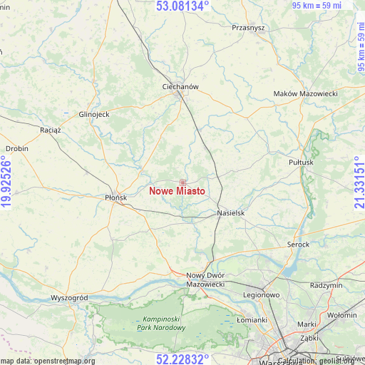
Nowe Miasto GPS coordinates[2]
52° 39' 24.876" North, 20° 37' 42.168" East
| Map corner | latitude | longitude |
|---|---|---|
| Upper-left | 53.08134°, | 19.92526° |
| Center: | 52.65691°, | 20.62838° |
| Lower-right: | 52.22832°, | 21.33151° |
| Map W x H: | 94.8×94.8 km | = 58.9×58.9mi |
| max Lat: | 54.83135° ⇑21.3% North |
| Nowe Miasto: | 52.65691° |
| min Lat: | ⇓78.7% South 49.21328° |
| min Long | Nowe Miasto | max Long |
| 14.20249° | 20.62838° | 24.03723° |
| W 66.6%⇐ | ⇒33.4% E |
Elevation
Elevation of Nowe Miasto is 92 m = 302 ft, and this is 99.4 m = 326 ft below average elevation for this country.
| Max E: |
974 m = 3196 ft | 83.7% |
| Avg. | 191.4 m = 628 ft | |
| Nowe Miasto | 92 m = 302 ft | |
Min E: |
-3 m = -10 ft | 16.3% |
See also: Poland elevation on elevation.city.
Geographical zone
Nowe Miasto is located in North temperate zone (between Tropic of Cancer and the Arctic Circle). Distance of this North polar circle is 1546.3 km =960.8 mi to North.| Distance of | km | miles | from Nowe Miasto |
|---|---|---|---|
| North Pole | 4152.2 | 2580.1 | to North |
| Arctic Circle | 1546.3 | 960.8 | to North |
| Tropic Cancer | 3249 | 2018.8 | to South |
| Equator | 5854.9 | 3638.1 | to South |


Nearby cities:
15 places around Nowe Miasto: (largest is in red/bold)
• Brody-Parcele
21.5 km =13.4 mi,  157°
157°
• Gołotczyzna
15.3 km =9.5 mi,  16°
16°
• Gołymin-Ośrodek
23.5 km =14.6 mi,  44°
44°
• Gzy
23.2 km =14.4 mi,  66°
66°
• Gąsocin
10.6 km =6.6 mi,  32°
32°
• Joniec
6.9 km =4.3 mi,  206°
206°
• Nasielsk
14.1 km =8.8 mi,  122°
122°
• Ojrzeń
13.4 km =8.3 mi,  334°
334°
• Pomiechówek
21.7 km =13.5 mi, 161°
• Płońsk
17.5 km =10.9 mi,  257°
257°
• Sochocin
11 km =6.8 mi,  287°
287°
• Sońsk
14.7 km =9.1 mi, 18°
• Winnica
21.2 km =13.2 mi,  94°
94°
• Załuski
17.5 km =10.9 mi,  202°
202°
• Świercze
9.3 km =5.8 mi,  80°
80°
Sources, notices
• [Note1] Compared only with cities in Poland existing in our database
• [Src1] Map data: © OpenStreetMap contributors (CC-BY-SA)
• [Src2] Other city data from geonames.org with taken over terms of usage.
• [Src3] Geographical zone / Annual Mean Temperature by Robert A. Rohde @ Wikipedia
