Winnica geodata
Winnica (Mazovia) is a seat of a third-order administrative division; located in Poland in Europe/Warsaw (GMT+2) time zone. With population of 560 people, there are 3377 cities with bigger population in this country. Compared to other cities in Poland, 78.5% of cities are located further ↓South; 71.3% of cities are located further ←West and 69.8% of cities have higher elevation than Winnica. Note1


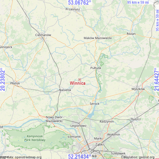
Winnica GPS coordinates[2]
52° 38' 35.016" North, 20° 56' 28.104" East
| Map corner | latitude | longitude |
|---|---|---|
| Upper-left | 53.06762°, | 20.23802° |
| Center: | 52.64306°, | 20.94114° |
| Lower-right: | 52.21434°, | 21.64427° |
| Map W x H: | 94.9×94.9 km | = 59×59mi |
| max Lat: | 54.83135° ⇑21.5% North |
| Winnica: | 52.64306° |
| min Lat: | ⇓78.5% South 49.21328° |
| min Long | Winnica | max Long |
| 14.20249° | 20.94114° | 24.03723° |
| W 71.3%⇐ | ⇒28.7% E |
Elevation
Elevation of Winnica is 121 m = 397 ft, and this is 70.4 m = 231 ft below average elevation for this country.
| Max E: |
974 m = 3196 ft | 69.8% |
| Avg. | 191.4 m = 628 ft | |
| Winnica | 121 m = 397 ft | |
Min E: |
-3 m = -10 ft | 30.2% |
See also: Poland elevation on elevation.city.
Geographical zone
Winnica is located in North temperate zone (between Tropic of Cancer and the Arctic Circle). Distance of this North polar circle is 1547.8 km =961.8 mi to North.| Distance of | km | miles | from Winnica |
|---|---|---|---|
| North Pole | 4153.7 | 2581 | to North |
| Arctic Circle | 1547.8 | 961.8 | to North |
| Tropic Cancer | 3247.4 | 2017.8 | to South |
| Equator | 5853.4 | 3637.1 | to South |


Nearby cities:
15 places around Winnica: (largest is in red/bold)
• Gołymin-Ośrodek
18.9 km =11.7 mi,  346°
346°
• Gzy
10.8 km =6.7 mi,  0°
0°
• Gąsocin
18.7 km =11.6 mi,  304°
304°
• Karniewo
21.8 km =13.5 mi,  8°
8°
• Nasielsk
11 km =6.8 mi,  236°
236°
• Nowe Miasto
21.2 km =13.2 mi,  274°
274°
• Obryte
22.3 km =13.9 mi,  68°
68°
• Pokrzywnica
5.8 km =3.6 mi,  115°
115°
• Psary
18.6 km =11.6 mi,  64°
64°
• Pułtusk
11.6 km =7.2 mi, 55°
• Serock
17.1 km =10.6 mi,  149°
149°
• Sońsk
22.4 km =13.9 mi,  313°
313°
• Wieliszew
21.4 km =13.3 mi,  175°
175°
• Zatory
17 km =10.6 mi,  106°
106°
• Świercze
12.3 km =7.6 mi,  284°
284°
Sources, notices
• [Note1] Compared only with cities in Poland existing in our database
• [Src1] Map data: © OpenStreetMap contributors (CC-BY-SA)
• [Src2] Other city data from geonames.org with taken over terms of usage.
• [Src3] Geographical zone / Annual Mean Temperature by Robert A. Rohde @ Wikipedia
