Lelis geodata
Lelis (Mazovia) is a populated place; located in Poland in Europe/Warsaw (GMT+2) time zone. With population of 656 people, there are 3154 cities with bigger population in this country. Compared to other cities in Poland, 86.2% of cities are located further ↓South; 79.7% of cities are located further ←West and 77.6% of cities have higher elevation than Lelis. Note1


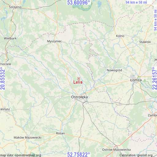
Lelis GPS coordinates[2]
53° 10' 53.976" North, 21° 33' 30.384" East
| Map corner | latitude | longitude |
|---|---|---|
| Upper-left | 53.60096°, | 20.85532° |
| Center: | 53.18166°, | 21.55844° |
| Lower-right: | 52.75822°, | 22.26157° |
| Map W x H: | 93.7×93.7 km | = 58.2×58.2mi |
| max Lat: | 54.83135° ⇑13.8% North |
| Lelis: | 53.18166° |
| min Lat: | ⇓86.2% South 49.21328° |
| min Long | Lelis | max Long |
| 14.20249° | 21.55844° | 24.03723° |
| W 79.7%⇐ | ⇒20.3% E |
Elevation
Elevation of Lelis is 104 m = 341 ft, and this is 87.4 m = 287 ft below average elevation for this country.
| Max E: |
974 m = 3196 ft | 77.6% |
| Avg. | 191.4 m = 628 ft | |
| Lelis | 104 m = 341 ft | |
Min E: |
-3 m = -10 ft | 22.4% |
See also: Poland elevation on elevation.city.
Geographical zone
Lelis is located in North temperate zone (between Tropic of Cancer and the Arctic Circle). Distance of this North polar circle is 1487.9 km =924.5 mi to North.| Distance of | km | miles | from Lelis |
|---|---|---|---|
| North Pole | 4093.8 | 2543.8 | to North |
| Arctic Circle | 1487.9 | 924.5 | to North |
| Tropic Cancer | 3307.3 | 2055.1 | to South |
| Equator | 5913.2 | 3674.3 | to South |


Nearby cities:
15 places around Lelis: (largest is in red/bold)
• Baranowo
17.4 km =10.8 mi,  267°
267°
• Czerwin
29.1 km =18.1 mi,  152°
152°
• Janowo
30.5 km =19 mi,  51°
51°
• Kadzidło
8.6 km =5.3 mi,  313°
313°
• Miastkowo
17.5 km =10.9 mi,  101°
101°
• Myszyniec
26.1 km =16.2 mi,  327°
327°
• Młynarze
27.1 km =16.8 mi,  201°
201°
• Nowogród
22.1 km =13.7 mi,  76°
76°
• Olszewo Borki
12.7 km =7.9 mi,  186°
186°
• Ostrołęka
10.7 km =6.6 mi,  173°
173°
• Rzekuń
15.5 km =9.6 mi,  164°
164°
• Sypniewo
25.8 km =16 mi,  220°
220°
• Troszyn
20.3 km =12.6 mi, 145°
• Zbójna
16.7 km =10.4 mi,  65°
65°
• Łyse
20.3 km =12.6 mi,  1°
1°
Sources, notices
• [Note1] Compared only with cities in Poland existing in our database
• [Src1] Map data: © OpenStreetMap contributors (CC-BY-SA)
• [Src2] Other city data from geonames.org with taken over terms of usage.
• [Src3] Geographical zone / Annual Mean Temperature by Robert A. Rohde @ Wikipedia
