Sypniewo geodata
Sypniewo (Mazovia) is a seat of a third-order administrative division; located in Poland in Europe/Warsaw (GMT+2) time zone. With population of 480 people, there are 3548 cities with bigger population in this country. Compared to other cities in Poland, 83.6% of cities are located further ↓South; 77.1% of cities are located further ←West and 78.4% of cities have higher elevation than Sypniewo. Note1


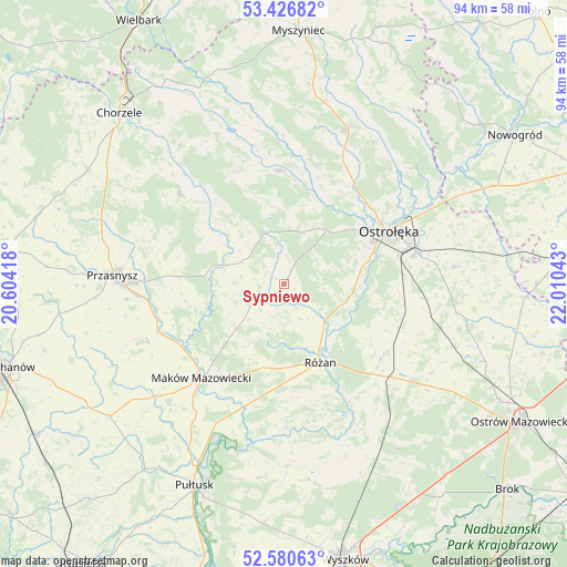
Sypniewo GPS coordinates[2]
53° 0' 20.88" North, 21° 18' 26.28" East
| Map corner | latitude | longitude |
|---|---|---|
| Upper-left | 53.42682°, | 20.60418° |
| Center: | 53.0058°, | 21.3073° |
| Lower-right: | 52.58063°, | 22.01043° |
| Map W x H: | 94.1×94.1 km | = 58.5×58.5mi |
| max Lat: | 54.83135° ⇑16.4% North |
| Sypniewo: | 53.0058° |
| min Lat: | ⇓83.6% South 49.21328° |
| min Long | Sypniewo | max Long |
| 14.20249° | 21.3073° | 24.03723° |
| W 77.1%⇐ | ⇒22.9% E |
Elevation
Elevation of Sypniewo is 103 m = 338 ft, and this is 88.4 m = 290 ft below average elevation for this country.
| Max E: |
974 m = 3196 ft | 78.4% |
| Avg. | 191.4 m = 628 ft | |
| Sypniewo | 103 m = 338 ft | |
Min E: |
-3 m = -10 ft | 21.6% |
See also: Poland elevation on elevation.city.
Geographical zone
Sypniewo is located in North temperate zone (between Tropic of Cancer and the Arctic Circle). Distance of this North polar circle is 1507.5 km =936.7 mi to North.| Distance of | km | miles | from Sypniewo |
|---|---|---|---|
| North Pole | 4113.4 | 2555.9 | to North |
| Arctic Circle | 1507.5 | 936.7 | to North |
| Tropic Cancer | 3287.8 | 2042.9 | to South |
| Equator | 5893.7 | 3662.2 | to South |


Nearby cities:
15 places around Sypniewo: (largest is in red/bold)
• Baranowo
18.9 km =11.7 mi,  358°
358°
• Czerwonka
14 km =8.7 mi,  206°
206°
• Goworowo
20.3 km =12.6 mi,  125°
125°
• Jednorożec
22.8 km =14.2 mi,  311°
311°
• Krasne
24.5 km =15.2 mi,  248°
248°
• Krasnosielc
10.5 km =6.5 mi,  287°
287°
• Maków Mazowiecki
20.9 km =13 mi,  221°
221°
• Młynarze
9 km =5.6 mi, 129°
• Olszewo Borki
16.8 km =10.4 mi,  65°
65°
• Ostrołęka
20 km =12.4 mi,  63°
63°
• Płoniawy-Bramura
16.1 km =10 mi,  258°
258°
• Rzekuń
21.5 km =13.4 mi,  77°
77°
• Rzewnie
19.1 km =11.9 mi,  174°
174°
• Różan
14.3 km =8.9 mi,  156°
156°
• Szelków
19.9 km =12.4 mi,  197°
197°
Sources, notices
• [Note1] Compared only with cities in Poland existing in our database
• [Src1] Map data: © OpenStreetMap contributors (CC-BY-SA)
• [Src2] Other city data from geonames.org with taken over terms of usage.
• [Src3] Geographical zone / Annual Mean Temperature by Robert A. Rohde @ Wikipedia
