Kępie Żaleszańskie geodata
Kępie Żaleszańskie (Subcarpathian) is a populated place; located in Poland in Europe/Warsaw (GMT+2) time zone. With population of 1,334 people, there are 2029 cities with bigger population in this country. Compared to other cities in Poland, 64.1% of cities are located further ↑North; 83.2% of cities are located further ←West and 62.1% of cities have higher elevation than Kępie Żaleszańskie. Note1


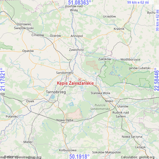
Kępie Żaleszańskie GPS coordinates[2]
50° 38' 23.388" North, 21° 52' 52.788" East
| Map corner | latitude | longitude |
|---|---|---|
| Upper-left | 51.08363°, | 21.17821° |
| Center: | 50.63983°, | 21.88133° |
| Lower-right: | 50.1918°, | 22.58446° |
| Map W x H: | 99.2×99.2 km | = 61.6×61.6mi |
| max Lat: | 54.83135° ⇑64.1% North |
| Kępie Żaleszańskie: | 50.63983° |
| min Lat: | ⇓35.9% South 49.21328° |
| min Long | Kępie Żalesza | max Long |
| 14.20249° | 21.88133° | 24.03723° |
| W 83.2%⇐ | ⇒16.8% E |
Elevation
Elevation of Kępie Żaleszańskie is 142 m = 466 ft, and this is 49.4 m = 162 ft below average elevation for this country.
| Max E: |
974 m = 3196 ft | 62.1% |
| Avg. | 191.4 m = 628 ft | |
| Kępie Żaleszańskie | 142 m = 466 ft | |
Min E: |
-3 m = -10 ft | 37.9% |
See also: Poland elevation on elevation.city.
Geographical zone
Kępie Żaleszańskie is located in North temperate zone (between Tropic of Cancer and the Arctic Circle). Distance of this North polar circle is 1770.6 km =1100.2 mi to North.| Distance of | km | miles | from Kępie Żaleszańskie |
|---|---|---|---|
| North Pole | 4376.4 | 2719.4 | to North |
| Arctic Circle | 1770.6 | 1100.2 | to North |
| Tropic Cancer | 3024.7 | 1879.5 | to South |
| Equator | 5630.6 | 3498.7 | to South |


Nearby cities:
15 places around Kępie Żaleszańskie: (largest is in red/bold)
• Chwałowice
14.1 km =8.8 mi,  1°
1°
• Dwikozy
12.5 km =7.8 mi,  328°
328°
• Gorzyce
4.2 km =2.6 mi,  316°
316°
• Grębów
8.3 km =5.2 mi,  183°
183°
• Obrazów
17.3 km =10.7 mi,  289°
289°
• Radomyśl
6.3 km =3.9 mi,  43°
43°
• Samborzec
16.5 km =10.3 mi,  272°
272°
• Sandomierz
10.5 km =6.5 mi,  297°
297°
• Sokolniki
5.3 km =3.3 mi, 267°
• Stalowa Wola
13.7 km =8.5 mi,  117°
117°
• Tarnobrzeg
16.1 km =10 mi,  242°
242°
• Zaleszany
1.1 km =0.7 mi, 36°
• Zawichost
18.7 km =11.6 mi,  354°
354°
• Złota
14.2 km =8.8 mi,  280°
280°
• Żabno
7.4 km =4.6 mi,  57°
57°
Sources, notices
• [Note1] Compared only with cities in Poland existing in our database
• [Src1] Map data: © OpenStreetMap contributors (CC-BY-SA)
• [Src2] Other city data from geonames.org with taken over terms of usage.
• [Src3] Geographical zone / Annual Mean Temperature by Robert A. Rohde @ Wikipedia
