Iwaniska geodata
Iwaniska (Świętokrzyskie) is a seat of a third-order administrative division; located in Poland in Europe/Warsaw (GMT+2) time zone. With population of 1,300 people, there are 2055 cities with bigger population in this country. Compared to other cities in Poland, 61.9% of cities are located further ↑North; 76.7% of cities are located further ←West and 76.8% of cities have lower elevation than Iwaniska. Note1


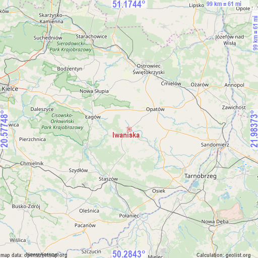
Iwaniska GPS coordinates[2]
50° 43' 53.256" North, 21° 16' 50.16" East
| Map corner | latitude | longitude |
|---|---|---|
| Upper-left | 51.1744°, | 20.57748° |
| Center: | 50.73146°, | 21.2806° |
| Lower-right: | 50.2843°, | 21.98373° |
| Map W x H: | 99×99 km | = 61.5×61.5mi |
| max Lat: | 54.83135° ⇑61.9% North |
| Iwaniska: | 50.73146° |
| min Lat: | ⇓38.1% South 49.21328° |
| min Long | Iwaniska | max Long |
| 14.20249° | 21.2806° | 24.03723° |
| W 76.7%⇐ | ⇒23.3% E |
Elevation
Elevation of Iwaniska is 253 m = 830 ft, and this is 61.6 m = 202 ft above average elevation for this country.
| Max E: |
974 m = 3196 ft | 23.2% |
| Iwaniska | 253 m 830 ft | |
| Avg. | 191.4 m = 628 ft | |
Min E: |
-3 m = -10 ft | 76.8% |
See also: Poland elevation on elevation.city.
Geographical zone
Iwaniska is located in North temperate zone (between Tropic of Cancer and the Arctic Circle). Distance of this North polar circle is 1760.4 km =1093.9 mi to North.| Distance of | km | miles | from Iwaniska |
|---|---|---|---|
| North Pole | 4366.3 | 2713.1 | to North |
| Arctic Circle | 1760.4 | 1093.9 | to North |
| Tropic Cancer | 3034.9 | 1885.8 | to South |
| Equator | 5640.8 | 3505 | to South |


Nearby cities:
15 places around Iwaniska: (largest is in red/bold)
• Baćkowice
7.5 km =4.7 mi,  333°
333°
• Bodzechów
22.4 km =13.9 mi,  29°
29°
• Bogoria
9 km =5.6 mi,  189°
189°
• Klimontów
14.9 km =9.3 mi,  124°
124°
• Lipnik
15 km =9.3 mi,  90°
90°
• Nowa Słupia
19.9 km =12.4 mi,  317°
317°
• Opatów
12.8 km =8 mi,  52°
52°
• Raków
17.8 km =11.1 mi,  249°
249°
• Sadowie
14.8 km =9.2 mi,  24°
24°
• Stara Słupia
19.6 km =12.2 mi, 325°
• Staszów
20.4 km =12.7 mi,  203°
203°
• Waśniów
19.1 km =11.9 mi,  347°
347°
• Wiśniowa
15.5 km =9.6 mi, 187°
• Wiśniowa
15.9 km =9.9 mi,  301°
301°
• Łagów
14.6 km =9.1 mi,  289°
289°
Sources, notices
• [Note1] Compared only with cities in Poland existing in our database
• [Src1] Map data: © OpenStreetMap contributors (CC-BY-SA)
• [Src2] Other city data from geonames.org with taken over terms of usage.
• [Src3] Geographical zone / Annual Mean Temperature by Robert A. Rohde @ Wikipedia
