Mogoytuy geodata
Mogoytuy (Transbaikal Territory) is a populated place; located in Russia in Asia/Chita (GMT+9) time zone. With population of 8,420 people, there are 1733 cities with bigger population in this country. Compared to other cities in Russia, 73.6% of cities are located further ↑North; 92.2% of cities are located further ←West and 95.2% of cities have lower elevation than Mogoytuy. Note1


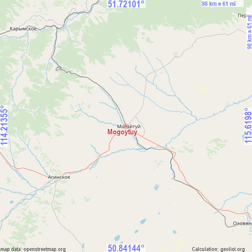
Mogoytuy GPS coordinates[2]
51° 16' 59.988" North, 114° 55' 0.012" East
| Map corner | latitude | longitude |
|---|---|---|
| Upper-left | 51.72101°, | 114.21355° |
| Center: | 51.28333°, | 114.91667° |
| Lower-right: | 50.84144°, | 115.6198° |
| Map W x H: | 97.8×97.8 km | = 60.8×60.8mi |
| max Lat: | 73.50819° ⇑73.6% North |
| Mogoytuy: | 51.28333° |
| min Lat: | ⇓26.4% South 41.28413° |
| min Long | Mogoytuy | max Long |
| -179.12198° | 114.91667° | 179.35046° |
| W 92.2%⇐ | ⇒7.8% E |
Elevation
Elevation of Mogoytuy is 650 m = 2133 ft, and this is 447.4 m = 1468 ft above average elevation for this country.
| Max E: |
2518 m = 8261 ft | 4.8% |
| Mogoytuy | 650 m 2133 ft | |
| Avg. | 202.6 m = 665 ft | |
Min E: |
-28 m = -92 ft | 95.2% |
See also: Russia elevation on elevation.city.
Geographical zone
Mogoytuy is located in North temperate zone (between Tropic of Cancer and the Arctic Circle). Distance of this North polar circle is 1699 km =1055.7 mi to North.| Distance of | km | miles | from Mogoytuy |
|---|---|---|---|
| North Pole | 4304.9 | 2674.9 | to North |
| Arctic Circle | 1699 | 1055.7 | to North |
| Tropic Cancer | 3096.3 | 1924 | to South |
| Equator | 5702.2 | 3543.2 | to South |


Nearby cities:
15 places around Mogoytuy: (largest is in red/bold)
• Aginskoye
33.8 km =21 mi,  232°
232°
• Bol’shaya Tura
66.9 km =41.6 mi,  303°
303°
• Budulan
79.7 km =49.5 mi,  180°
180°
• Darasun
77.5 km =48.2 mi, 302°
• Guney
89.2 km =55.4 mi,  196°
196°
• Karymskoye
54 km =33.6 mi,  313°
313°
• Kurort-Darasun
84.1 km =52.3 mi,  263°
263°
• Makkaveyevo
85.1 km =52.9 mi, 307°
• Nizhniy Tsasuchey
86.6 km =53.8 mi,  169°
169°
• Novokruchininskiy
96.5 km =60 mi, 305°
• Novoorlovsk
26.7 km =16.6 mi,  209°
209°
• Olovyannaya
58.6 km =36.4 mi,  129°
129°
• Orlovskiy
28.4 km =17.6 mi,  191°
191°
• Pervomayskiy
65.3 km =40.6 mi,  48°
48°
• Shilka
99.6 km =61.9 mi, 50°
Sources, notices
• [Note1] Compared only with cities in Russia existing in our database
• [Src1] Map data: © OpenStreetMap contributors (CC-BY-SA)
• [Src2] Other city data from geonames.org with taken over terms of usage.
• [Src3] Geographical zone / Annual Mean Temperature by Robert A. Rohde @ Wikipedia
