Pervomayskiy geodata
Pervomayskiy (Transbaikal Territory) is a populated place; located in Russia in Asia/Chita (GMT+9) time zone. With population of 13,141 people, there are 1198 cities with bigger population in this country. Compared to other cities in Russia, 71.4% of cities are located further ↑North; 92.3% of cities are located further ←West and 95.4% of cities have lower elevation than Pervomayskiy. Note1


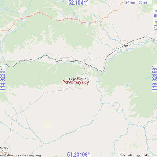
Pervomayskiy GPS coordinates[2]
51° 40' 12.468" North, 115° 37' 31.548" East
| Map corner | latitude | longitude |
|---|---|---|
| Upper-left | 52.1041°, | 114.92231° |
| Center: | 51.67013°, | 115.62543° |
| Lower-right: | 51.23196°, | 116.32856° |
| Map W x H: | 97×97 km | = 60.3×60.3mi |
| max Lat: | 73.50819° ⇑71.4% North |
| Pervomayskiy: | 51.67013° |
| min Lat: | ⇓28.6% South 41.28413° |
| min Long | Pervomayskiy | max Long |
| -179.12198° | 115.62543° | 179.35046° |
| W 92.3%⇐ | ⇒7.7% E |
Elevation
Elevation of Pervomayskiy is 666 m = 2185 ft, and this is 463.4 m = 1520 ft above average elevation for this country.
| Max E: |
2518 m = 8261 ft | 4.6% |
| Pervomayskiy | 666 m 2185 ft | |
| Avg. | 202.6 m = 665 ft | |
Min E: |
-28 m = -92 ft | 95.4% |
See also: Russia elevation on elevation.city.
Geographical zone
Pervomayskiy is located in North temperate zone (between Tropic of Cancer and the Arctic Circle). Distance of this North polar circle is 1656 km =1029 mi to North.| Distance of | km | miles | from Pervomayskiy |
|---|---|---|---|
| North Pole | 4261.9 | 2648.2 | to North |
| Arctic Circle | 1656 | 1029 | to North |
| Tropic Cancer | 3139.3 | 1950.7 | to South |
| Equator | 5745.2 | 3569.9 | to South |


Nearby cities:
15 places around Pervomayskiy: (largest is in red/bold)
• Aginskoye
99 km =61.5 mi,  230°
230°
• Arbagar
52 km =32.3 mi,  55°
55°
• Baley
70.3 km =43.7 mi,  98°
98°
• Bol’shaya Tura
104.6 km =65 mi,  266°
266°
• Kalanguy
95.4 km =59.3 mi,  139°
139°
• Karymskoye
88.2 km =54.8 mi, 266°
• Kholbon
49.1 km =30.5 mi, 61°
• Mogoytuy
65.3 km =40.6 mi, 228°
• Nerchinsk
74.5 km =46.3 mi, 62°
• Novoorlovsk
90.9 km =56.5 mi,  223°
223°
• Olovyannaya
80.2 km =49.8 mi,  182°
182°
• Orlovskiy
89.7 km =55.7 mi, 217°
• Priiskovyy
75.2 km =46.7 mi,  67°
67°
• Shilka
34.5 km =21.4 mi,  54°
54°
• Vershino-Darasunskiy
77.7 km =48.3 mi,  355°
355°
Sources, notices
• [Note1] Compared only with cities in Russia existing in our database
• [Src1] Map data: © OpenStreetMap contributors (CC-BY-SA)
• [Src2] Other city data from geonames.org with taken over terms of usage.
• [Src3] Geographical zone / Annual Mean Temperature by Robert A. Rohde @ Wikipedia
