Dul’durga geodata
Dul’durga (Transbaikal Territory) is a populated place; located in Russia in Asia/Chita (GMT+9) time zone. With population of 6,382 people, there are 2158 cities with bigger population in this country. Compared to other cities in Russia, 76.1% of cities are located further ↑North; 91.8% of cities are located further ←West and 96.8% of cities have lower elevation than Dul’durga. Note1


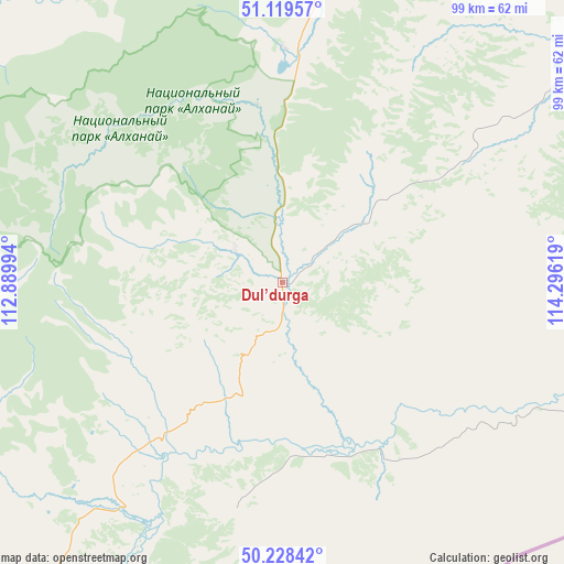
Dul’durga GPS coordinates[2]
50° 40' 33.996" North, 113° 35' 35.016" East
| Map corner | latitude | longitude |
|---|---|---|
| Upper-left | 51.11957°, | 112.88994° |
| Center: | 50.67611°, | 113.59306° |
| Lower-right: | 50.22842°, | 114.29619° |
| Map W x H: | 99.1×99.1 km | = 61.6×61.6mi |
| max Lat: | 73.50819° ⇑76.1% North |
| Dul’durga: | 50.67611° |
| min Lat: | ⇓23.9% South 41.28413° |
| min Long | Dul’durga | max Long |
| -179.12198° | 113.59306° | 179.35046° |
| W 91.8%⇐ | ⇒8.2% E |
Elevation
Elevation of Dul’durga is 753 m = 2470 ft, and this is 550.4 m = 1806 ft above average elevation for this country.
| Max E: |
2518 m = 8261 ft | 3.2% |
| Dul’durga | 753 m 2470 ft | |
| Avg. | 202.6 m = 665 ft | |
Min E: |
-28 m = -92 ft | 96.8% |
See also: Russia elevation on elevation.city.
Geographical zone
Dul’durga is located in North temperate zone (between Tropic of Cancer and the Arctic Circle). Distance of this North polar circle is 1766.5 km =1097.7 mi to North.| Distance of | km | miles | from Dul’durga |
|---|---|---|---|
| North Pole | 4372.4 | 2716.9 | to North |
| Arctic Circle | 1766.5 | 1097.7 | to North |
| Tropic Cancer | 3028.7 | 1881.9 | to South |
| Equator | 5634.7 | 3501.2 | to South |


Nearby cities:
15 places around Dul’durga: (largest is in red/bold)
• Aginskoye
80.9 km =50.3 mi,  54°
54°
• Aksha
49 km =30.4 mi,  206°
206°
• Bol’shaya Tura
110.7 km =68.8 mi,  19°
19°
• Budulan
93 km =57.8 mi,  97°
97°
• Darasun
112.5 km =69.9 mi,  13°
13°
• Drovyanaya
107.2 km =66.6 mi,  338°
338°
• Guney
70.3 km =43.7 mi, 104°
• Karymskoye
117.2 km =72.8 mi,  26°
26°
• Kurort-Darasun
58.8 km =36.5 mi, 8°
• Makkaveyevo
122.3 km =76 mi, 11°
• Mogoytuy
114.6 km =71.2 mi, 53°
• Nizhniy Tsasuchey
110.1 km =68.4 mi, 99°
• Novoorlovsk
91.1 km =56.6 mi,  60°
60°
• Orlovskiy
95.7 km =59.5 mi,  65°
65°
• Ulety
108.3 km =67.3 mi,  314°
314°
Sources, notices
• [Note1] Compared only with cities in Russia existing in our database
• [Src1] Map data: © OpenStreetMap contributors (CC-BY-SA)
• [Src2] Other city data from geonames.org with taken over terms of usage.
• [Src3] Geographical zone / Annual Mean Temperature by Robert A. Rohde @ Wikipedia
