Bayangol geodata
Bayangol (Buryatiya Republic) is a populated place; located in Russia in Asia/Irkutsk (GMT+8) time zone. With population of 1,432 people, there are 4415 cities with bigger population in this country. Compared to other cities in Russia, 75.9% of cities are located further ↑North; 89% of cities are located further ←West and 99.1% of cities have lower elevation than Bayangol. Note1


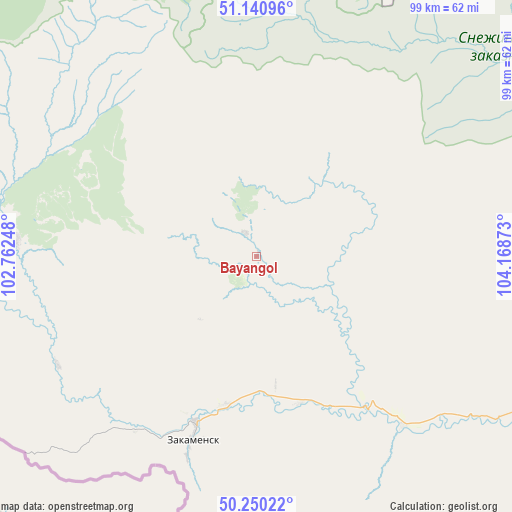
Bayangol GPS coordinates[2]
50° 41' 51.72" North, 103° 27' 56.16" East
| Map corner | latitude | longitude |
|---|---|---|
| Upper-left | 51.14096°, | 102.76248° |
| Center: | 50.6977°, | 103.4656° |
| Lower-right: | 50.25022°, | 104.16873° |
| Map W x H: | 99×99 km | = 61.5×61.5mi |
| max Lat: | 73.50819° ⇑75.9% North |
| Bayangol: | 50.6977° |
| min Lat: | ⇓24.1% South 41.28413° |
| min Long | Bayangol | max Long |
| -179.12198° | 103.4656° | 179.35046° |
| W 89%⇐ | ⇒11% E |
Elevation
Elevation of Bayangol is 1238 m = 4062 ft, and this is 1035.4 m = 3397 ft above average elevation for this country.
| Max E: |
2518 m = 8261 ft | 0.90000000000001% |
| Bayangol | 1238 m 4062 ft | |
| Avg. | 202.6 m = 665 ft | |
Min E: |
-28 m = -92 ft | 99.1% |
See also: Russia elevation on elevation.city.
Geographical zone
Bayangol is located in North temperate zone (between Tropic of Cancer and the Arctic Circle). Distance of this North polar circle is 1764.1 km =1096.2 mi to North.| Distance of | km | miles | from Bayangol |
|---|---|---|---|
| North Pole | 4370 | 2715.4 | to North |
| Arctic Circle | 1764.1 | 1096.2 | to North |
| Tropic Cancer | 3031.1 | 1883.4 | to South |
| Equator | 5637.1 | 3502.7 | to South |


Nearby cities:
15 places around Bayangol: (largest is in red/bold)
• Baykal’sk
102.4 km =63.6 mi,  27°
27°
• Kholtoson
45.8 km =28.5 mi,  193°
193°
• Kultuk
114.9 km =71.4 mi,  8°
8°
• Kyren
143.2 km =89 mi,  319°
319°
• Listvyanka
161.4 km =100.3 mi,  37°
37°
• Moty
156.1 km =97 mi, 11°
• Petropavlovka
131 km =81.4 mi,  94°
94°
• Rechka-Vydrino
130.4 km =81 mi,  47°
47°
• Shamanka
154.2 km =95.8 mi, 9°
• Slyudyanka
108.2 km =67.2 mi, 8°
• Tankhoy
150.2 km =93.3 mi, 50°
• Utulik
103 km =64 mi,  23°
23°
• Vydrino
118.3 km =73.5 mi, 44°
• Zakamensk
38.1 km =23.7 mi,  199°
199°
• Zhemchug
130.4 km =81 mi,  327°
327°
Sources, notices
• [Note1] Compared only with cities in Russia existing in our database
• [Src1] Map data: © OpenStreetMap contributors (CC-BY-SA)
• [Src2] Other city data from geonames.org with taken over terms of usage.
• [Src3] Geographical zone / Annual Mean Temperature by Robert A. Rohde @ Wikipedia
