Arbagar geodata
Arbagar (Transbaikal Territory) is a populated place; located in Russia in Asia/Chita (GMT+9) time zone. With population of 712 people, there are 4801 cities with bigger population in this country. Compared to other cities in Russia, 69.6% of cities are located further ↑North; 92.4% of cities are located further ←West and 93% of cities have lower elevation than Arbagar. Note1


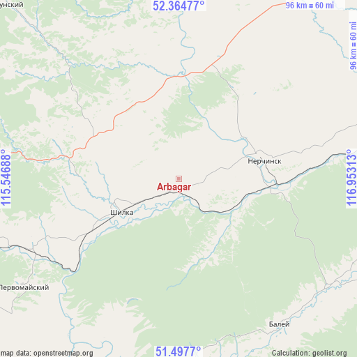
Arbagar GPS coordinates[2]
51° 55' 59.988" North, 116° 15' 0" East
| Map corner | latitude | longitude |
|---|---|---|
| Upper-left | 52.36477°, | 115.54688° |
| Center: | 51.93333°, | 116.25° |
| Lower-right: | 51.4977°, | 116.95313° |
| Map W x H: | 96.4×96.4 km | = 59.9×59.9mi |
| max Lat: | 73.50819° ⇑69.6% North |
| Arbagar: | 51.93333° |
| min Lat: | ⇓30.4% South 41.28413° |
| min Long | Arbagar | max Long |
| -179.12198° | 116.25° | 179.35046° |
| W 92.4%⇐ | ⇒7.6% E |
Elevation
Elevation of Arbagar is 535 m = 1755 ft, and this is 332.4 m = 1091 ft above average elevation for this country.
| Max E: |
2518 m = 8261 ft | 7% |
| Arbagar | 535 m 1755 ft | |
| Avg. | 202.6 m = 665 ft | |
Min E: |
-28 m = -92 ft | 93% |
See also: Russia elevation on elevation.city.
Geographical zone
Arbagar is located in North temperate zone (between Tropic of Cancer and the Arctic Circle). Distance of this North polar circle is 1626.7 km =1010.8 mi to North.| Distance of | km | miles | from Arbagar |
|---|---|---|---|
| North Pole | 4232.6 | 2630 | to North |
| Arctic Circle | 1626.7 | 1010.8 | to North |
| Tropic Cancer | 3168.5 | 1968.8 | to South |
| Equator | 5774.4 | 3588 | to South |


Nearby cities:
15 places around Arbagar: (largest is in red/bold)
• Baley
47.2 km =29.3 mi,  145°
145°
• Chernyshevsk
83.8 km =52.1 mi,  38°
38°
• Kalanguy
103.6 km =64.4 mi,  169°
169°
• Kholbon
5.6 km =3.5 mi,  180°
180°
• Kokuy
94.2 km =58.5 mi,  71°
71°
• Mogoytuy
117 km =72.7 mi,  231°
231°
• Nerchinsk
23.5 km =14.6 mi,  76°
76°
• Olovyannaya
119.2 km =74.1 mi,  203°
203°
• Pervomayskiy
52 km =32.3 mi,  235°
235°
• Priiskovyy
26.3 km =16.3 mi,  90°
90°
• Shelopugino
95.5 km =59.3 mi,  109°
109°
• Shilka
17.5 km =10.9 mi, 238°
• Sretensk
105.6 km =65.6 mi, 70°
• Verkh-Usugli
112.6 km =70 mi,  319°
319°
• Vershino-Darasunskiy
68.9 km =42.8 mi,  314°
314°
Sources, notices
• [Note1] Compared only with cities in Russia existing in our database
• [Src1] Map data: © OpenStreetMap contributors (CC-BY-SA)
• [Src2] Other city data from geonames.org with taken over terms of usage.
• [Src3] Geographical zone / Annual Mean Temperature by Robert A. Rohde @ Wikipedia
