Nzega geodata
Nzega (Southern Province) is a populated place; located in Rwanda in Africa/Kigali (GMT+2) time zone. With population of 33,832 people, there are 10 cities with bigger population in this country. Compared to other cities in Rwanda, 84.6% of cities are located further ↑North; 76.9% of cities are located further →East and 92.3% of cities have lower elevation than Nzega. Note1
Administrative division(s):
- Level 1: Southern Province
- Level 2: Nyamagabe District
- Level 3: Gasaka
- Level 4: Nzega


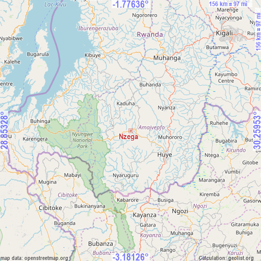
Nzega GPS coordinates[2]
2° 28' 44.4" South, 29° 33' 23.04" East
| Map corner | latitude | longitude |
|---|---|---|
| Upper-left | -1.77636°, | 28.85328° |
| Center: | -2.479°, | 29.5564° |
| Lower-right: | -3.18126°, | 30.25953° |
| Map W x H: | 156.2×156.2 km | = 97.1×97.1mi |
| max Lat: | -1.49984° ⇑84.6% North |
| Nzega: | -2.479° |
| min Lat: | ⇓15.4% South -2.59667° |
| min Long | Nzega | max Long |
| 28.9075° | 29.5564° | 30.5427° |
| W 23.1%⇐ | ⇒76.9% E |
Elevation
Elevation of Nzega is 1993 m = 6539 ft, and this is 256.1 m = 840 ft above average elevation for this country.
| Max E: |
2263 m = 7425 ft | 7.7% |
| Nzega | 1993 m 6539 ft | |
| Avg. | 1736.9 m = 5698 ft | |
Min E: |
1461 m = 4793 ft | 92.3% |
See also: Rwanda elevation on elevation.city.
Geographical zone
Nzega is located in South Torrid zone (between Equator and Tropic of Capricorn). Distance of Equator is 275.6 km =171.2 mi to North.| Distance of | km | miles | from Nzega |
|---|---|---|---|
| Equator | 275.6 | 171.2 | to North |
| Tropic Capricorn | 2330.3 | 1448 | to South |
| Antarctic Circle | 7125.5 | 4427.6 | to South |
| South Pole | 9731.4 | 6046.8 | to South |


Nearby cities:
13 places around Nzega: (largest is in red/bold)
• Butare
24.2 km =15 mi,  122°
122°
• Byumba
115.3 km =71.6 mi,  29°
29°
• Cyangugu
72.1 km =44.8 mi,  269°
269°
• Eglise Catholique, Centrale GIKO
66.4 km =41.3 mi,  24°
24°
• Gikongoro
2.6 km =1.6 mi,  49°
49°
• Gisenyi
92.5 km =57.5 mi,  338°
338°
• Gitarama
50.2 km =31.2 mi, 26°
• Kibungo
115.2 km =71.6 mi,  72°
72°
• Kibuye
52 km =32.3 mi,  333°
333°
• Kigali
81.1 km =50.4 mi,  43°
43°
• Musanze
109.2 km =67.9 mi,  4°
4°
• Nyanza
25.8 km =16 mi,  56°
56°
• Rwamagana
114 km =70.8 mi, 58°
Sources, notices
• [Note1] Compared only with cities in Rwanda existing in our database
• [Src1] Map data: © OpenStreetMap contributors (CC-BY-SA)
• [Src2] Other city data from geonames.org with taken over terms of usage.
• [Src3] Geographical zone / Annual Mean Temperature by Robert A. Rohde @ Wikipedia
