El Matama geodata
El Matama (River Nile) is a populated place; located in Sudan in Africa/Khartoum (GMT+2) time zone. With population of 11,366 people, there are 54 cities with bigger population in this country. Compared to other cities in Sudan, 80.3% of cities are located further ↓South; 64.8% of cities are located further ←West and 81.7% of cities have higher elevation than El Matama. Note1


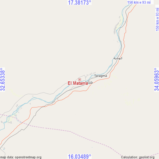
El Matama GPS coordinates[2]
16° 42' 34.2" North, 33° 21' 23.4" East
| Map corner | latitude | longitude |
|---|---|---|
| Upper-left | 17.38173°, | 32.65338° |
| Center: | 16.7095°, | 33.3565° |
| Lower-right: | 16.03489°, | 34.05963° |
| Map W x H: | 149.8×149.8 km | = 93.1×93.1mi |
| max Lat: | 21.06667° ⇑19.7% North |
| El Matama: | 16.7095° |
| min Lat: | ⇓80.3% South 10.55° |
| min Long | El Matama | max Long |
| 22.44725° | 33.3565° | 37.729° |
| W 64.8%⇐ | ⇒35.2% E |
Elevation
Elevation of El Matama is 366 m = 1201 ft, and this is 83.1 m = 273 ft below average elevation for this country.
| Max E: |
1159 m = 3802 ft | 81.7% |
| Avg. | 449.1 m = 1473 ft | |
| El Matama | 366 m = 1201 ft | |
Min E: |
4 m = 13 ft | 18.3% |
See also: Sudan elevation on elevation.city.
Geographical zone
El Matama is located in North Torrid zone (between Equator and Tropic of Cancer). Distance of this Northern Tropic circle is 748 km =464.8 mi to North.| Distance of | km | miles | from El Matama |
|---|---|---|---|
| North Pole | 8149.1 | 5063.6 | to North |
| Arctic Circle | 5543.3 | 3444.4 | to North |
| Tropic Cancer | 748 | 464.8 | to North |
| Equator | 1857.9 | 1154.4 | to South |


Nearby cities:
15 places around El Matama: (largest is in red/bold)
• Al Hasaheisa
217.7 km =135.3 mi,  181°
181°
• Al Hilāliyya
197.2 km =122.5 mi, 183°
• Al Masallamiyya
237.4 km =147.5 mi, 180°
• Al Qiţena
230.8 km =143.4 mi,  207°
207°
• Atbara
129.1 km =80.2 mi,  31°
31°
• Berber
160.3 km =99.6 mi,  24°
24°
• Ed Damer
118.6 km =73.7 mi, 33°
• El Bauga
182.3 km =113.3 mi, 18°
• Khartoum
155.9 km =96.9 mi, 214°
• Kuraymah
259.5 km =161.2 mi,  322°
322°
• Merowe
255.3 km =158.6 mi, 320°
• Omdurman
151.1 km =93.9 mi,  218°
218°
• Shendi
8.5 km =5.3 mi,  103°
103°
• Wad Medani
257.3 km =159.9 mi, 176°
• Wad Rāwah
173.8 km =108 mi,  187°
187°
Sources, notices
• [Note1] Compared only with cities in Sudan existing in our database
• [Src1] Map data: © OpenStreetMap contributors (CC-BY-SA)
• [Src2] Other city data from geonames.org with taken over terms of usage.
• [Src3] Geographical zone / Annual Mean Temperature by Robert A. Rohde @ Wikipedia
