Sinnar geodata
Sinnar (Sinnār) is a populated place; located in Sudan in Africa/Khartoum (GMT+2) time zone. With population of 130,122 people, there are 15 cities with bigger population in this country. Compared to other cities in Sudan, 54.9% of cities are located further ↑North; 69% of cities are located further ←West and 50.7% of cities have higher elevation than Sinnar. Note1


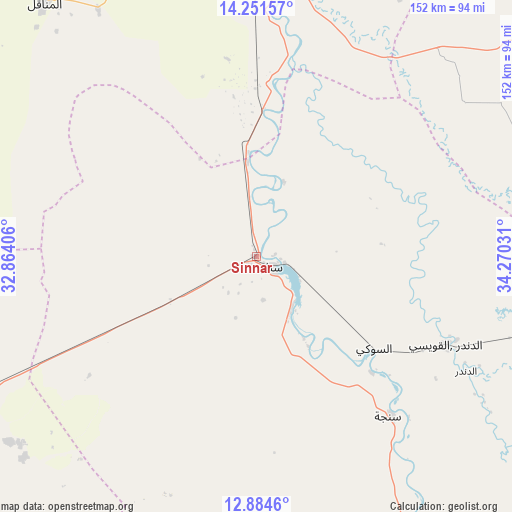
Sinnar GPS coordinates[2]
13° 34' 8.652" North, 33° 34' 1.848" East
| Map corner | latitude | longitude |
|---|---|---|
| Upper-left | 14.25157°, | 32.86406° |
| Center: | 13.56907°, | 33.56718° |
| Lower-right: | 12.8846°, | 34.27031° |
| Map W x H: | 152×152 km | = 94.4×94.4mi |
| max Lat: | 21.06667° ⇑54.9% North |
| Sinnar: | 13.56907° |
| min Lat: | ⇓45.1% South 10.55° |
| min Long | Sinnar | max Long |
| 22.44725° | 33.56718° | 37.729° |
| W 69%⇐ | ⇒31% E |
Elevation
Elevation of Sinnar is 427 m = 1401 ft, and this is 22.1 m = 73 ft below average elevation for this country.
| Max E: |
1159 m = 3802 ft | 50.7% |
| Avg. | 449.1 m = 1473 ft | |
| Sinnar | 427 m = 1401 ft | |
Min E: |
4 m = 13 ft | 49.3% |
See also: Sinnar elevation on elevation.city.
Geographical zone
Sinnar is located in North Torrid zone (between Equator and Tropic of Cancer). Distance of this Northern Tropic circle is 1097.2 km =681.8 mi to North.| Distance of | km | miles | from Sinnar |
|---|---|---|---|
| North Pole | 8498.3 | 5280.6 | to North |
| Arctic Circle | 5892.4 | 3661.4 | to North |
| Tropic Cancer | 1097.2 | 681.8 | to North |
| Equator | 1508.7 | 937.5 | to South |


Nearby cities:
15 places around Sinnar: (largest is in red/bold)
• Ad Dindar
76.7 km =47.7 mi,  122°
122°
• Al Hasaheisa
134.8 km =83.8 mi,  347°
347°
• Al Kawa
117 km =72.7 mi,  279°
279°
• Al Kiremit al ‘Arakiyyīn
109.6 km =68.1 mi,  322°
322°
• Al Manāqil
97.8 km =60.8 mi, 320°
• Al Masallamiyya
114.5 km =71.1 mi, 347°
• Al Ḩawātah
116.5 km =72.4 mi,  98°
98°
• As Sūkī
44.2 km =27.5 mi,  129°
129°
• Kināna
67.3 km =41.8 mi, 320°
• Kosti
107.7 km =66.9 mi,  245°
245°
• Maiurno
20.1 km =12.5 mi,  147°
147°
• Rabak
99.3 km =61.7 mi,  244°
244°
• Singa
61.2 km =38 mi,  139°
139°
• Um Jar Al Gharbiyya
127.9 km =79.5 mi, 281°
• Wad Medani
92.7 km =57.6 mi,  356°
356°
Sources, notices
• [Note1] Compared only with cities in Sudan existing in our database
• [Src1] Map data: © OpenStreetMap contributors (CC-BY-SA)
• [Src2] Other city data from geonames.org with taken over terms of usage.
• [Src3] Geographical zone / Annual Mean Temperature by Robert A. Rohde @ Wikipedia
