Kosti geodata
Kosti (White Nile) is a populated place; located in Sudan in Africa/Khartoum (GMT+2) time zone. With population of 345,068 people, there are 7 cities with bigger population in this country. Compared to other cities in Sudan, 67.6% of cities are located further ↑North; 52.1% of cities are located further ←West and 73.2% of cities have higher elevation than Kosti. Note1


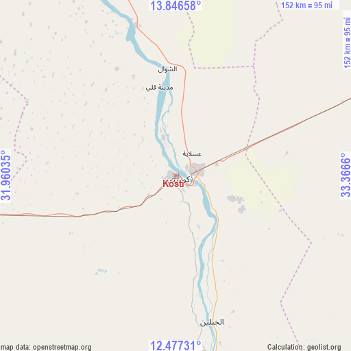
Kosti GPS coordinates[2]
13° 9' 46.44" North, 32° 39' 48.492" East
| Map corner | latitude | longitude |
|---|---|---|
| Upper-left | 13.84658°, | 31.96035° |
| Center: | 13.1629°, | 32.66347° |
| Lower-right: | 12.47731°, | 33.3666° |
| Map W x H: | 152.2×152.3 km | = 94.6×94.6mi |
| max Lat: | 21.06667° ⇑67.6% North |
| Kosti: | 13.1629° |
| min Lat: | ⇓32.4% South 10.55° |
| min Long | Kosti | max Long |
| 22.44725° | 32.66347° | 37.729° |
| W 52.1%⇐ | ⇒47.9% E |
Elevation
Elevation of Kosti is 387 m = 1270 ft, and this is 62.1 m = 204 ft below average elevation for this country.
| Max E: |
1159 m = 3802 ft | 73.2% |
| Avg. | 449.1 m = 1473 ft | |
| Kosti | 387 m = 1270 ft | |
Min E: |
4 m = 13 ft | 26.8% |
See also: Kosti elevation on elevation.city.
Geographical zone
Kosti is located in North Torrid zone (between Equator and Tropic of Cancer). Distance of this Northern Tropic circle is 1142.3 km =709.8 mi to North.| Distance of | km | miles | from Kosti |
|---|---|---|---|
| North Pole | 8543.5 | 5308.7 | to North |
| Arctic Circle | 5937.6 | 3689.5 | to North |
| Tropic Cancer | 1142.3 | 709.8 | to North |
| Equator | 1463.6 | 909.4 | to South |


Nearby cities:
15 places around Kosti: (largest is in red/bold)
• Ad Douiem
100.7 km =62.6 mi,  337°
337°
• Al Kawa
67.2 km =41.8 mi, 344°
• Al Kiremit al ‘Arakiyyīn
135.2 km =84 mi,  12°
12°
• Al Manāqil
125.5 km =78 mi,  16°
16°
• As Sūkī
133.1 km =82.7 mi,  82°
82°
• Kināna
111.5 km =69.3 mi,  29°
29°
• Maiurno
112.2 km =69.7 mi, 75°
• Marabba
104.3 km =64.8 mi,  209°
209°
• Rabak
8.5 km =5.3 mi, 76°
• Singa
137.3 km =85.3 mi,  90°
90°
• Sinnar
107.7 km =66.9 mi,  65°
65°
• Tandaltī
87.8 km =54.6 mi,  259°
259°
• Um Jar Al Gharbiyya
76.2 km =47.3 mi, 338°
• Umm Ruwaba
159.4 km =99 mi, 259°
• Wad az Zāki
152.6 km =94.8 mi, 341°
Sources, notices
• [Note1] Compared only with cities in Sudan existing in our database
• [Src1] Map data: © OpenStreetMap contributors (CC-BY-SA)
• [Src2] Other city data from geonames.org with taken over terms of usage.
• [Src3] Geographical zone / Annual Mean Temperature by Robert A. Rohde @ Wikipedia
