Rajec geodata
Rajec (Žilinský kraj) is a populated place; located in Slovakia in Europe/Bratislava (GMT+2) time zone. With population of 6,400 people, there are 94 cities with bigger population in this country. Compared to other cities in Slovakia, 74.7% of cities are located further ↓South; 61.8% of cities are located further →East and 71.2% of cities have lower elevation than Rajec. Note1


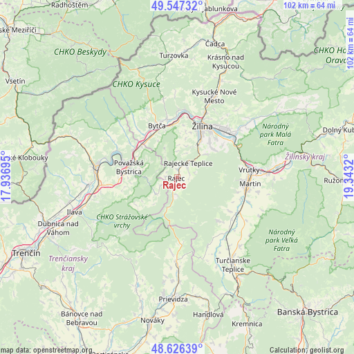
Rajec GPS coordinates[2]
49° 5' 20.364" North, 18° 38' 24.252" East
| Map corner | latitude | longitude |
|---|---|---|
| Upper-left | 49.54732°, | 17.93695° |
| Center: | 49.08899°, | 18.64007° |
| Lower-right: | 48.62639°, | 19.3432° |
| Map W x H: | 102.4×102.4 km | = 63.6×63.6mi |
| max Lat: | 49.43503° ⇑25.3% North |
| Rajec: | 49.08899° |
| min Lat: | ⇓74.7% South 47.76356° |
| min Long | Rajec | max Long |
| 16.9786° | 18.64007° | 22.18136° |
| W 38.2%⇐ | ⇒61.8% E |
Elevation
Elevation of Rajec is 448 m = 1470 ft, and this is 111.9 m = 367 ft above average elevation for this country.
| Max E: |
1006 m = 3301 ft | 28.8% |
| Rajec | 448 m 1470 ft | |
| Avg. | 336.1 m = 1103 ft | |
Min E: |
102 m = 335 ft | 71.2% |
See also: Slovakia elevation on elevation.city.
Geographical zone
Rajec is located in North temperate zone (between Tropic of Cancer and the Arctic Circle). Distance of this North polar circle is 1943 km =1207.3 mi to North.| Distance of | km | miles | from Rajec |
|---|---|---|---|
| North Pole | 4548.9 | 2826.6 | to North |
| Arctic Circle | 1943 | 1207.3 | to North |
| Tropic Cancer | 2852.3 | 1772.3 | to South |
| Equator | 5458.2 | 3391.6 | to South |


Nearby cities:
15 places around Rajec: (largest is in red/bold)
• Bojnice
34 km =21.1 mi,  186°
186°
• Bytča
16.1 km =10 mi,  338°
338°
• Ilava
31.2 km =19.4 mi,  251°
251°
• Krasňany
22.8 km =14.2 mi,  52°
52°
• Kysucké Nové Mesto
25.7 km =16 mi,  23°
23°
• Martin
20.8 km =12.9 mi,  96°
96°
• Považská Bystrica
16.3 km =10.1 mi,  282°
282°
• Prievidza
35 km =21.7 mi,  181°
181°
• Púchov
23.2 km =14.4 mi, 279°
• Stráža
24.7 km =15.3 mi, 52°
• Terchová
34 km =21.1 mi,  56°
56°
• Turzovka
35.1 km =21.8 mi,  357°
357°
• Turčianske Teplice
29.9 km =18.6 mi,  147°
147°
• Vrútky
20.4 km =12.7 mi,  82°
82°
• Žilina
16.6 km =10.3 mi,  25°
25°
Sources, notices
• [Note1] Compared only with cities in Slovakia existing in our database
• [Src1] Map data: © OpenStreetMap contributors (CC-BY-SA)
• [Src2] Other city data from geonames.org with taken over terms of usage.
• [Src3] Geographical zone / Annual Mean Temperature by Robert A. Rohde @ Wikipedia
