Tefeya geodata
Tefeya (Eastern Province) is a populated place; located in Sierra Leone in Africa/Freetown (GMT+0) time zone. With population of 3,544 people, there are 62 cities with bigger population in this country. Compared to other cities in Sierra Leone, 74.7% of cities are located further ↓South; 69.9% of cities are located further ←West and 83.1% of cities have lower elevation than Tefeya. Note1


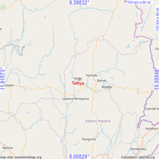
Tefeya GPS coordinates[2]
8° 42' 14.22" North, 11° 12' 45.36" West
| Map corner | latitude | longitude |
|---|---|---|
| Upper-left | 9.39832°, | -11.91573° |
| Center: | 8.70395°, | -11.2126° |
| Lower-right: | 8.00829°, | -10.50948° |
| Map W x H: | 154.6×154.6 km | = 96.1×96.1mi |
| max Lat: | 9.91376° ⇑25.3% North |
| Tefeya: | 8.70395° |
| min Lat: | ⇓74.7% South 7.24611° |
| min Long | Tefeya | max Long |
| -13.28972° | -11.2126° | -10.37135° |
| W 69.9%⇐ | ⇒30.1% E |
Elevation
Elevation of Tefeya is 333 m = 1093 ft, and this is 175.8 m = 577 ft above average elevation for this country.
| Max E: |
564 m = 1850 ft | 16.9% |
| Tefeya | 333 m 1093 ft | |
| Avg. | 157.2 m = 516 ft | |
Min E: |
1 m = 3 ft | 83.1% |
See also: Sierra Leone elevation on elevation.city.
Geographical zone
Tefeya is located in North Torrid zone (between Equator and Tropic of Cancer). Distance of Equator is 967.8 km =601.4 mi to South.| Distance of | km | miles | from Tefeya |
|---|---|---|---|
| North Pole | 9039.3 | 5616.8 | to North |
| Arctic Circle | 6433.4 | 3997.5 | to North |
| Tropic Cancer | 1638.1 | 1017.9 | to North |
| Equator | 967.8 | 601.4 | to South |


Nearby cities:
15 places around Tefeya: (largest is in red/bold)
• Alikalia
53.5 km =33.2 mi,  339°
339°
• Barma
41.5 km =25.8 mi,  198°
198°
• Boajibu
59.1 km =36.7 mi,  193°
193°
• Giehun
24.9 km =15.5 mi,  131°
131°
• Kayima
21.3 km =13.2 mi,  15°
15°
• Koidu
27.3 km =17 mi,  104°
104°
• Koyima
20.9 km =13 mi,  89°
89°
• Makali
50 km =31.1 mi,  260°
260°
• Masaka
65 km =40.4 mi,  266°
266°
• Motema
24.1 km =15 mi,  114°
114°
• Panguma
58.4 km =36.3 mi,  171°
171°
• Simbakoro
24.7 km =15.3 mi, 114°
• Tombu
56 km =34.8 mi, 109°
• Wima
44.9 km =27.9 mi,  178°
178°
• Yengema
4.8 km =3 mi,  75°
75°
Sources, notices
• [Note1] Compared only with cities in Sierra Leone existing in our database
• [Src1] Map data: © OpenStreetMap contributors (CC-BY-SA)
• [Src2] Other city data from geonames.org with taken over terms of usage.
• [Src3] Geographical zone / Annual Mean Temperature by Robert A. Rohde @ Wikipedia
