Gorahun geodata
Gorahun (Eastern Province) is a populated place; located in Sierra Leone in Africa/Freetown (GMT+0) time zone. With population of 4,089 people, there are 55 cities with bigger population in this country. Compared to other cities in Sierra Leone, 94% of cities are located further ↑North; 68.7% of cities are located further ←West and 60.2% of cities have lower elevation than Gorahun. Note1


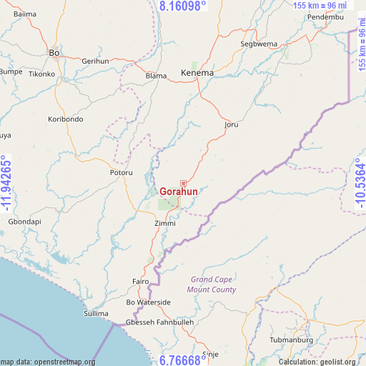
Gorahun GPS coordinates[2]
7° 27' 51.804" North, 11° 14' 22.272" West
| Map corner | latitude | longitude |
|---|---|---|
| Upper-left | 8.16098°, | -11.94265° |
| Center: | 7.46439°, | -11.23952° |
| Lower-right: | 6.76668°, | -10.5364° |
| Map W x H: | 155×155 km | = 96.3×96.3mi |
| max Lat: | 9.91376° ⇑94% North |
| Gorahun: | 7.46439° |
| min Lat: | ⇓6% South 7.24611° |
| min Long | Gorahun | max Long |
| -13.28972° | -11.23952° | -10.37135° |
| W 68.7%⇐ | ⇒31.3% E |
Elevation
Elevation of Gorahun is 140 m = 459 ft, and this is 17.2 m = 56 ft below average elevation for this country.
| Max E: |
564 m = 1850 ft | 39.8% |
| Avg. | 157.2 m = 516 ft | |
| Gorahun | 140 m = 459 ft | |
Min E: |
1 m = 3 ft | 60.2% |
See also: Sierra Leone elevation on elevation.city.
Geographical zone
Gorahun is located in North Torrid zone (between Equator and Tropic of Cancer). Distance of Equator is 830 km =515.7 mi to South.| Distance of | km | miles | from Gorahun |
|---|---|---|---|
| North Pole | 9177.1 | 5702.4 | to North |
| Arctic Circle | 6571.2 | 4083.2 | to North |
| Tropic Cancer | 1776 | 1103.6 | to North |
| Equator | 830 | 515.7 | to South |


Nearby cities:
15 places around Gorahun: (largest is in red/bold)
• Blama
47.1 km =29.3 mi,  345°
345°
• Bomi
39.8 km =24.7 mi,  232°
232°
• Foindu
34.1 km =21.2 mi,  259°
259°
• Gandorhun
51 km =31.7 mi,  281°
281°
• Gandorhun
65.3 km =40.6 mi,  272°
272°
• Gbewebu
41.7 km =25.9 mi, 283°
• Giehun
51.2 km =31.8 mi,  24°
24°
• Hangha
54 km =33.6 mi,  11°
11°
• Jojoima
67.6 km =42 mi,  47°
47°
• Kenema
46.2 km =28.7 mi, 6°
• Koribundu
57 km =35.4 mi,  298°
298°
• Potoru
26.8 km =16.7 mi, 279°
• Pujehun
54.4 km =33.8 mi, 257°
• Segbwema
67 km =41.6 mi,  28°
28°
• Zimmi
18.4 km =11.4 mi,  204°
204°
Sources, notices
• [Note1] Compared only with cities in Sierra Leone existing in our database
• [Src1] Map data: © OpenStreetMap contributors (CC-BY-SA)
• [Src2] Other city data from geonames.org with taken over terms of usage.
• [Src3] Geographical zone / Annual Mean Temperature by Robert A. Rohde @ Wikipedia
